Happy Wednesday, everyone. Showers and thunderstorms are getting ready to rumble across the bluegrass in the coming days. The action is likely to come at us in waves and will put down some needed rainfall across the region. All of this is setting the stage for additional blasts of cool showing up over the next few weeks.
Scattered storms will develop out there today with similar temps to what you had Tuesday.
Current temperatures


Thunderstorm action picks up later Thursday into Friday as a wave of low pressure works into the region from the west. This will give us a good shot at some locally heavy rain to go along with a strong storm or two. On and off storms will then take us through the weekend.
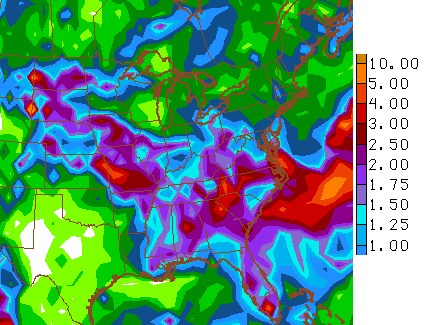
Even the GFS is picking up on some decent totals through early next week…
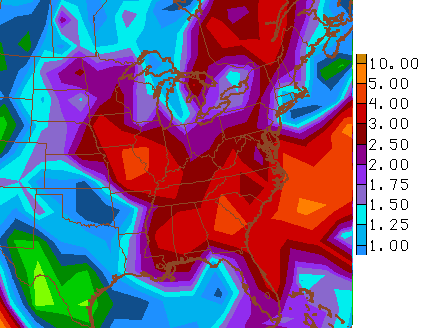
 The same model shows a nice setup for rainfall through the next 2 weeks…
That run basically backs up the rainfall totals from the CFS in my last post. It is interesting to see the models with a similar evolution for rain.
Another cool thing to see on the GFS is the return of the winter looking pattern we’ve seen on several occasions this summer…
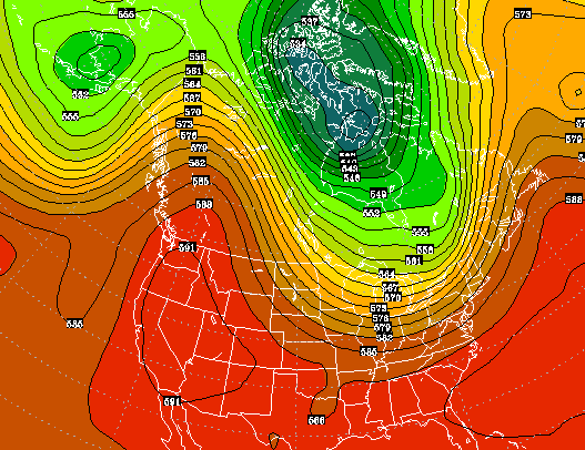 That’s once we get into the middle of the month and also shows some early season buildup of the white stuff across northern Canada…
 Have a great day and take care.

Just making sure comments were posting. lol
dog days of summer.
The Odds Of Winning The Indianapolis Colts’ Weather Challenge. You have to check it out; The Indianapolis Colts are offering half a million dollars to whoever can accurately predict the outdoor kickoff temperature for the team’s 20 games, from the preseason through the end of the regular season. I believe this mission is for Chris Bailey.
http://fivethirtyeight.com/features/the-odds-of-winning-the-indianapolis-colts-weather-challenge/