Good Monday, weather weenies. It’s time to buckle your seatbelt because we are about to take a wild ride on the temperature express. It isn’t often when we see highs near 80 and lows in the 20s just days apart, but that’s the case as we get ready to close out October.
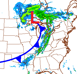
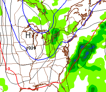
Late summer temps will be with us today with mid and upper 70s in the east with low 80s in the west. A few spots out west could flirt with 85 degrees on a strong southwesterly wind. That same wind is blowing ahead of a cold front that swings into town late Tuesday. That brings a line of showers and thunderstorms with it from west to east…
Much colder air then works in behind that front with highs mainly in the 50s for Wednesday and Thursday. Lows by Thursday morning are back in the 30s…
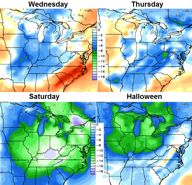
This takes us into Halloween and the arrival of a much colder air mass. This will easily be the coldest we’ve had since early spring. Check out the progression of the colder than normal temps from Wednesday through Saturday…
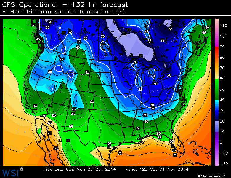
That’s a nice blast of cold that pushes in from late Friday into Saturday. Readings by Saturday morning should hit the 20s in many areas…
 What about precipitation? This is the part I won’t have a firm grip on for another day or two. The GFS continues to brush the region with some rain or snow showers action Halloween evening…
 While much of that should stay to our northeast, it wouldn’t take much change to put our region back in play. As it stands now for trick or treating… it looks windy with temps in the upper 30s to low 40s and a small chance of precipitation.
As I look farther down the road, this is a very energetic pattern that should feature a lot of back and forth with temperatures into mid November. It is this type of pattern that can lead to some healthy storm systems that can take on various forms across the country. Several of the years I’m looking at featured severe storms in November around here.
Check back later for another update on the Halloween Weekend cold blast.
Enjoy the day and take care.

Thanks Chris. Gonna enjoy today and as much of tomorrow as I can. Sounds like an epic clash of seasons coming up. Guess I will need to get out the sweaters for work and maybe a bigger cost. Have a great. Monday everyone.
will south central Kentucky get any snow showers this Halloween
SPC has us in a Marginal Risk for severe storms tomorrow.
http://www.spc.noaa.gov/products/outlook/day2otlk.html
Marginal is below slight risk factor, gotta remember that the SPC last week has changed the categorical outlooks.
Snow is the least of the worries….80 to freezing sounds like a nice severe weather outbreak to me.
Gotta have all the ingredients and we don’t for severe weather just not going to happen this go around, which is a good thing.