Good Friday afternoon, gang. It’s a cold Black Friday across the bluegrass state with temps struggling to get past the low 30s in several spots. Some flurries and snow showers continue to fly across the north and east. Today is another day of models busting way to warm from several days out. Get used to that!
The overall pattern continues to be skewed colder than normal… even when things are “milder”. Make sense? Good. 🙂
Temps on Saturday will warm into the mid and upper 40s in the east with low and mid 50s in the west. A few showers will be possible as gusty winds kick in. Those winds will really crank up into Sunday with highs from the mid 50s to around 60. Showers will increase as an arctic cold front works in.
That front works in on Monday with temps crashing by more than 30 degrees from Sunday night into Monday afternoon. This is the period I continue to watch for a blast of winter weather rolling in. The European Model keeps showing much of the state getting in on some snow and frozen precipitation through Monday night…
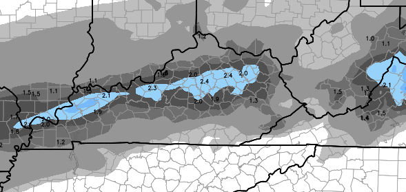
That would make for some messy travel as temps drop well below freezing Monday night and Tuesday morning. The Hi-Res GFS is also showing a similar band of snow and frozen setting up…

If we get some snow, you will want to be able to measure it. I can hook you up with that tonight…
Get your #WKYTRulesWinter ruler from WKYT's Chris Bailey at tonight's Lexington tree lighting. http://t.co/RioRWC1v9L pic.twitter.com/PT83P37E6U
— WKYT (@WKYT) November 28, 2014
I leave your with some Black Friday Tracking tools…
Current temperatures


Take care.

Temps no bust around monticello today . I notice the Euro doesn’t show any snow love for us either. We’re all happy and continent here in our lil slice of Florida 🙂
You must have a lot of rulers;) I still have my 2! Waiting for a measurable snow. Could be Monday? Hmmm…
Love your updates. You are the most accurate meterologist in the indiana or Kentucky area. Keep up the good work. Can’t wait for a big snow!!!!
One WV weather person is giving 50 degrees nearly every day next week…..bet they change that by the 11 pm news cast. Lol.
One WV weather person? Don’t you mean every single one of them….
Way to go WKU Hilltoppers Football team my hats off to ya. Beating a underfeated 24th rank Marshall at Marshall 67-66 in OT. Just for that the snow god’s are going to bless Bowling Green with a 6-10 inch single snowstorm this winter. lol
As a WKU grad, I second that big win 🙂 .
While I’m more of a warm wx person, I can take a little snow that quickly melts. Anyway, Nashville is overdue for a big winter storm; the last few years have seen the heavier snows go north or even south of us (like the early Jan 2011 storm that dumped about 16 inches of snow on the Tennessee-Alabama line).