Good Saturday, everyone. We are getting another weekend break from the cold and snowy weather here in the bluegrass state. November looks to go out on a fairly mild note that stands in stark contrast to the rest of the month. What about the beginning of December? Well, it appears the month starts out with crashing temps and some wintry weather.
Highs today will range from the upper 40s in the east to the middle 50s in the far west. There could be a shower or two going up as winds begin to crank.
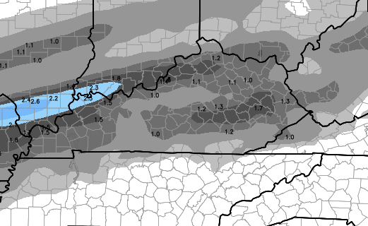
Current temperatures


Those winds may reach 35mph at times on Sunday as temps soar close to 60 in many areas. Showers will increase during the afternoon and evening. This action is ahead of a powerful arctic front that sweeps in here on Monday. Temps are still on track to drop 20-30 degrees in a matter of hours as the front swings in.
There will be plenty of overrunning moisture into the cold air and that spells a swath of possible winter weather. This will likely be in the form of a mix of sleet, freezing rain and some snow. The European Model continues to show many areas getting in on some frozen precipitation…
The American models are seeing the potential…
Hi-Res GFS

NAM

We will have to see how that plays out from Monday afternoon through Tuesday morning, but some slick travel could be possible.
That front will lift back to the north by Wednesday with the 40s returning quickly. Showers will then be possible for the rest of the week with seasonal temps or numbers just above normal. This is all part of the early December relaxation of the cold pattern I’ve been talking about.
That said… the pattern continues to skew colder than the models advertise in the extended period.
I will have updates later today. Take care.

Thanks for the update CB…. Going to be a good day to get the lights up. Go Cards…
Already 54 in Carrie of knott co, 60 is possible today
Chris does this mean the first highschool basketball game of the season will be affected by the weather?please tell me no.
Roger finds humor when people ask questions about if the weather will affect specific events. Chris can only discuss POTENTIAL situations, not exactly what could be canceled 2-4 days away.
Just got to say it. Go Cards!
Did U of L have a game today?
Can’t tell if serious or not?