Good afternoon, gang. The atmosphere is in the process of cranking up across western Kentucky and that means storms are ready to pop. Supercell thunderstorms will develop through the rest of the afternoon and roll eastward. These storms will produce very large hail, damaging winds and a few tornadoes.
A TORNADO WATCH is now our for western parts of the state through 8pm CDT.
The greatest severe weather threat across the rest of the state continues to be along and south of Interstate 64. Expect additional watches to be issued for these areas later today into this evening.
Here are the tracking tools you need…


Today’s risk area

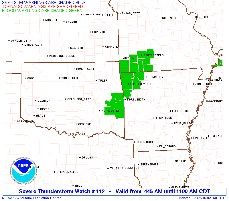
Current watches

Possible watch areas 


I will have updates as needed and be sure to follow my @kentuckyweather twitter feed for the latest.
Take care.

Hey Bailey ya thinkin the middle part of the state gonna get in on any of this? Still feelin a little too cold out here to me.
Bring on the good stuff!
Looks like the main stuff is more west, south-west than expected. The stuff was already supposed to be cranking for this area. A big storm miss is a big win IMO 🙂
This is not a PDS watch. In fact a low-end watch in my opinion from the SPC as the probability does not jump off the charts. However, if things get going, additional watches may be extended with heightened probabilities by then…thinking central and south-central Kentucky.
Is there a time we should start getting the storms? I am terrified of Tornadoes ! I am in Burgin , Mercer county.Thank you
I would guess between 6 and 10pm. Large hail threat more likely than tornado threat but isolated tornadoes still on the table and you will be more in the warm sector than I am near Louisville.
I looked at the national weather service site and it looks like on the outlook page they moved the red down some…I am praying they move it down more.
Ugh…almost right on cue, 46 degrees and they still haven’t started the Reds/Cubs game yet. Amazingly, I’d rather be down in Bowling Green with Israel where it’s 78 and a severe threat looms later…
It`s beautiful in Bowling Green 80 and sunny!
A temps a bust in frankfort, holding at 54 degrees and clouds very ugly day, while down south its busting 80, lucky folks their.
Storms are simply not firing up across central Ky despite temps in the upper 60s. Im blaming the lower than expected humidity and dew points.
I’m surprised the Goatrider has not done a Bust post 😉
It’s been a beautiful day in bowling Green. Sunny and 81 degrees. It’s amazing there is such a temperature difference across the state. We are almost 40 degrees warmer than northern kentucky!
Ky mesonet broke? It is saying 53 degrees in Mercer county….with bad storms….Hailing like crazy in Burgin !!
Several hailers with these storms…even Louisville area had some quarter size hail. Read reports of ping pong and golf ball sizes across central Kentucky.
Yeah, I would imagine there are some damaged vehicles in Rockcastle judging by some of these Twitter hail pics.
It’s rained all day here in greenup!
Shew! Thank you Chris and Jim. I was glued to WKYT a little earlier. Thank you for keeping us updated!!!!!!!!!!!
It ‘s funny how storms always pop in western Ky. and roll into eastern Ky. You never see storms pop in Eastern or Central Ky. and roll into Virginia…..wonder why???