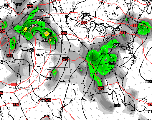
Good Tuesday to one and all. Much cooler and drier air continues to push into the region today. This better breath of air will will give us great conditions for the next couple of days. Enjoy that because another round of warm temps and higher humidity is on the way. That will bring an increased threat for scattered showers and storms.
Highs today will only reach the mid and upper 60s across many areas. The farther south you live, the better the shot at hitting the low 70s. Skies will be partly sunny on a cool northwesterly wind.
That flow carries us into Wednesday with more sunshine and highs back into the upper 60s and low 70s.
Temps will jump quickly on Thursday with most areas in the upper 70s to low 80s. Humidity levels will jump up as clouds increase on a southwesterly wind flow. That’s a moist flow that will lead us into scattered showers and storms for Friday…
That’s is a moisture rich flow coming off the Gulf of Mexico that should keep scattered showers and storms around into next weekend….
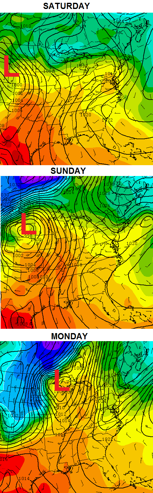
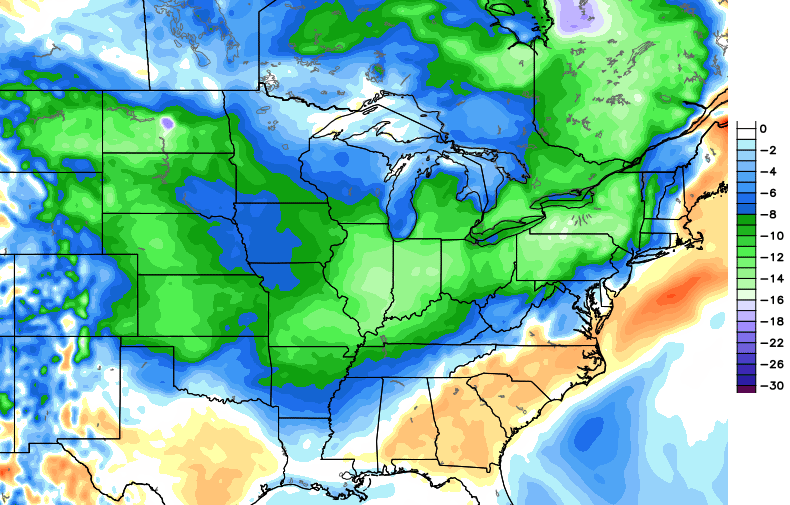
That is one healthy storm system developing across the plains by Sunday and Monday. It will have a lot of cool to chilly air coming in behind it. That cooler than normal setup then tries to engulf the country by the middle of next week…
 Have a great day and take care.

just had to leave a comment……..this blog can not go comment free…..this has been a beautiful spring day in huntington, wva.