Good Tuesday, everyone. Our active weather pattern continues with a likely heavy rain event getting ready to roll across the commonwealth. A potent area of low pressure will push through here late Wednesday into Thursday with heavy rain producing showers and thunderstorms.
A scattered shower or storm is possible out there today as a cold front slows down and becomes stationary across our region. That allows for a strong area of low pressure to head our way. This is the map I made on Saturday to illustrate what I thought would happen…
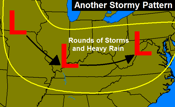
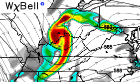
I have no need to make any changes to that. To further illustrate just how potent of a system this is, check out the spin upstairs…
That type of setup could lead to some strong storms with high winds and very heavy rains that can cause flash flooding. 2″+ rainfall is possible across the entire region.
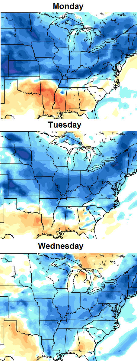
Temps behind that system will drop through the 70s on Thursday and only hit the high 70s and low 80s for Friday. The Canadian Model still looks to have the best handle on this overall pattern and it brings another cold front through here early next week. That knocks temps back down…
I’ve got some new fall and winter models to show you later this week. Spread the word! 😉
I leave you with some tracking toys…


Make it a great day and take care.

Our power went out at 8 last night and didn’t come back until 4. My phone wasn’t loading Twitter so I was a bit out of the loop. A guy in Paris called us and said, “Two funnel clouds spotted and heading your way.” I didn’t think that was accurate, although a friend closer to Paris said she heard the sirens.
The lightning was nonstop for two hours and the thunder had our cats yowling. The little dogs had to be on my lap the whole time.
Hail and 2.6″ of rain but not much wind — thank goodness!!!!!
Getting hammered in Harlan Co. this evening…storm after storm:)
These storms mean business. Nasty storm in north Perry co. Power blinking.
Valley Station got rocked…my power was out for only 15 minutes, but my parents’ neighborhood will be out for a while. Estimated winds of 50-55 mph…wasn’t just a single gust but a prolonged blow of wind.
Up to 8,700 outages LG&E customers now.