Good Tuesday, everyone. The fall chill is back in the air and, as the old saying goes, you ain’t seen nothing yet. The air grows from chilly to downright cold in the coming days. That could very well lead to the end of the growing season by the coming weekend.
Temps today are in the 60s for highs on a gusty northwesterly wind. This northwesterly wind continues with a weaker, rain-free, front moving in on Wednesday. Highs will again be in the 60s.
Temps Wednesday night will likely drop deep into the 30s across much of the region. That’s especially true into central and eastern Kentucky…
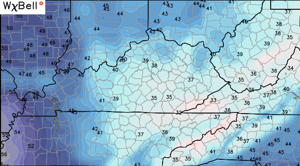
Patchy frost, at least, is a good possibility.
Thursday will be a windy day with temps rebounding a few degrees. Those winds are gusting ahead of another cold front that dives in Thursday night and Friday. Another broken band of gusty showers is likely as this front swings through. Winds will be very gusty Friday as temps take a big tumble.
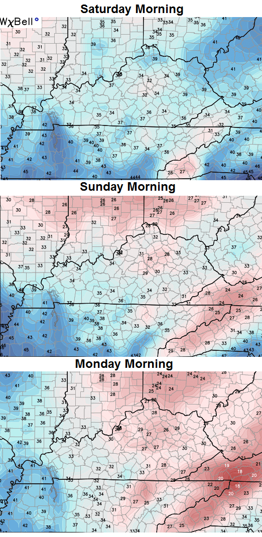
This will set the stage for widespread frost and the potential for a freeze over the weekend. I continue to ride the numbers from the Canadian model…
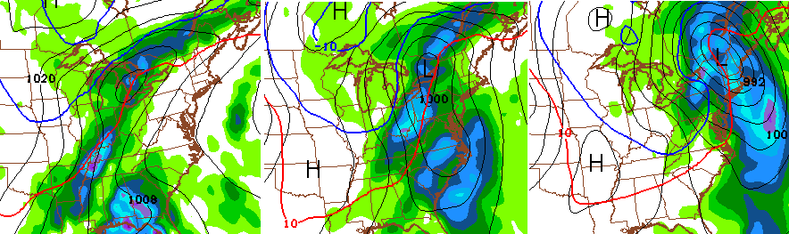
Once that swings through here, the stage is set for another potent cold front later next week. This system could pick up some juice, or something, from the Gulf of Mexico…
Interesting times!
Make it a great day and take care.

AKA, the model is showing snow flakes flying near our area next week.
At least we’ve got some fun stuff to track! I’m still recovering from all the long boring dry stretches of August and September.
If boring as it was nothing to really recover from?
Nws and others have jumped on the bandwagon of ky being dryer and warmer, very similar to 1997, due to el nino. Think ill put my trust in chris bailey.