Good Saturday, everyone. The overall forecast for the next several days is pretty simple and straightforward… Rain. A series of systems work from southwest to northeast across the region through Tuesday. This means waves of rain, heavy at times, working across the region.
From today through Tuesday of next week,, the models continue to point toward a general 1″-3″ rainfall across much of the state…

I’ve noticed the totals continue to come in higher across the south and east. Part of that is because of the wave of low pressure coming late Monday into Tuesday.
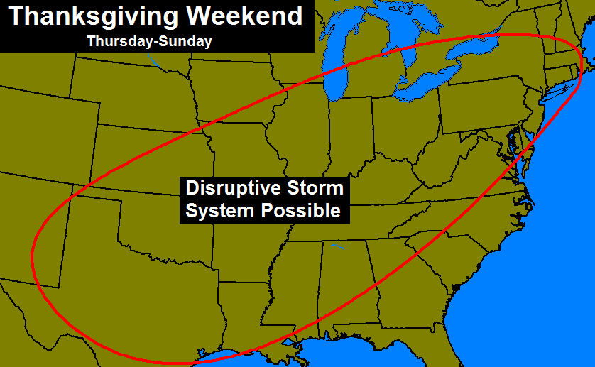
This same overall storm system has produced significant ice in the plains states to go along with the heavy rains around here. It’s a system I first gave you a heads up on 10 days ago with this map…
I did think we would get colder air involved in this system, but from 10 days out… I will take it.
I keep checking the CFS Ensembles snowfall forecast into early January. They continue to show lighter snow potential through the middle of December with a big ramp up later December into early January…

Again, the majority of that falls later in that 45 day window and would certainly match my winter forecast thoughts on this being a back loaded winter.
I leave you with your radars for the day…

I will have another update later today. Enjoy the rain and take care.

Thanks Chris. The rain held off yesterday and we were able to get the outside lights up. Not going to complain about that one bit! Guess I’m going to need to get the waders out for work next week it sounds like. On well, it will do what it does. At least we have the best weather dude in these parts to keep us informed and prepared! Have a greT Saturday everyone. GO CATS!!!
Madison was covered in green by both radars on here around 11 P.M.
Now this morning, it still hasn’t rained yet and we’re not covered in anything. This is one weirdly moving system.
Geez…AO has been at or above +3 for several days now..Looks like we may be dependent on the pacific again this year like the last 2… We better hope she cooperates or this winter could go down in flames..
Yeah, without a negative NAO either, I am concerned that the cold air may not be as aggressive for pushing into the Eastern U.S. The forecasts have changed a lot from showing all of the arctic air moving from the Central U.S. into our part of the country a few weeks ago to seeing this much above average air now through at least the 10th of December…not liking this weather pattern at all.
Terry December is slated to be warmer than normal. Not suprising seeing the temps were experiencing.
Rodger is already sensing the dreaded “week after next it’ll get cold” winter. Ugh!
Wow. Incredible pics coming in of this ice storm in parts of Oklahoma..