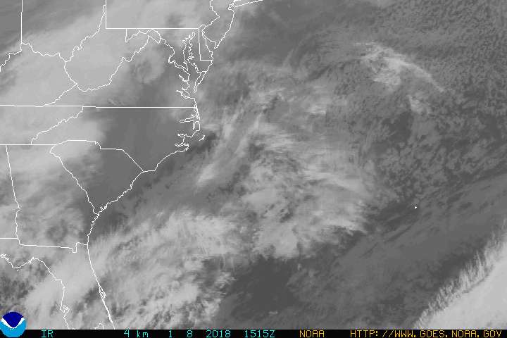
Good Thursday to one and all. We have a potent little cold front crossing the state early today. This bad boy is bringing some quick-hitting showers and much cooler air back into the bluegrass state. This is the first of several fronts likely to show up over the next few weeks, as the pattern takes on a much more active look.
Our day begins with some showers and lots of clouds. Winds will be gusty as temps hoover in the 50s through noon for many areas. The clouds will break across the central and west with some sunshine taking over. Clouds may be much more stubborn across the east and southeast.

Temps should generally range from 40-45 by Friday morning, but some pockets of upper 30s will be possible in the central and east.
A sneaky little shower maker develops to our southwest and moves in late Friday into Saturday. How much rain this can actually produce is up in the air. The GFS has a pocket of decent rain totals during this time…

This is on the nose of some much warmer air pushing back in from Sunday into early next week. That push now looks to keep the Sunday front just to our north, but can still throw scattered thunderstorms our way Sunday and Monday, especially across the north.
The atmosphere across the Northern Hemisphere is something to behold right now, as it really is in full blown supercharged model. Nicole has developed into a major hurricane as it gets ready for a possible, and rare, direct hit on Bermuda…

Out west, the remnants of a super typhoon are about ready to slam the pacific northwest with a MONSTER of a storm…
That’s a headline maker in the coming days.
What does all this mean for us? Well, it likely means some tough going for the medium and long range computer models. I feel they are currently in decent shape with the “theme” of the pattern, but the details may be pretty messed up with individual systems.
The one system that continues to show up well is a trough digging in for the middle and end of next week. Some models are trying to really crank this up…


A couple things stand our about that…
- If you like winter weather, that would be a heck of a setup to see at any point from November through March. But, it’s only mid October, so slow your winter roll. 🙂
- You can also see another tropical system developing in the Caribbean and working toward the Bahamas. The pattern is favorable for another storm.
Let me end on this note… there are some pretty strong indicators that the upcoming winter season will try to get started fairly early this year. From some of my main analogs, to just the overall look of the pattern I’m seeing for November to December, we will likely have some things to track.
Have a great day and take care.

right now I would just settle for some rain here in Louisville.
Well…. Louisville has completely missed out on the rain this morning so that’s strike one.
No rain Harlan, KY either…the usual lack of precipitation here though!
http://droughtmonitor.unl.edu/
Waking up to a decent rain in BG!! A pleasant sound to hear outside, but it sure is dark still at 6:30 🙁
Wow! NWS going for really warm to almost hot temperatures on Tuesday. Forecast high of 85 in Lexington and 88 in Louisville.
Just for perspective, the latest 90 degree temperature on record is October 15 in Louisville and October 9 in Lexington.
Thanks Chris. We got a bit of a shower here early this morning and if that little batch holds together, we should get a bit more within an hour I think. We really could use it, so if it comes I will not complain. Of course, we usually have dry weather in the fall, on a normal note. I know our weather has been all over the place so maybe we are getting back into a more ‘normal’ pattern. (One can hope.)
Have a great Thursday (Friday Eve) everyone!
Very little here in Lexington. Under the Dome as usual.
Cooler air is funneling in as expected. Bowling Green down to 60 degrees. Nashville still at 73, but it should start dropping very soon.
Of course a return to very warm temperatures early next week. Perhaps a few record highs? Especially in areas where the ground may remain especially parched.