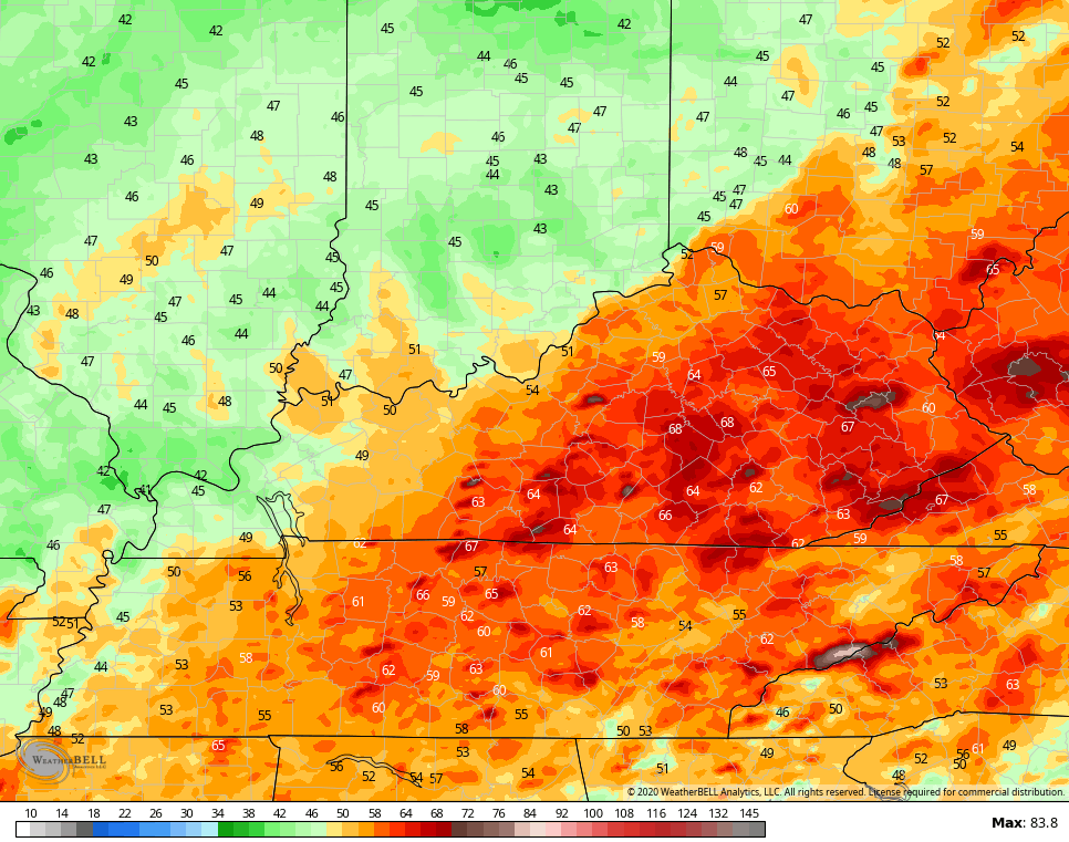
Good afternoon, everyone. It’s a fairly nice day across the Commonwealth, but the severe weather threat continues for Easter Sunday and Sunday night. There’s a lot of the country in the line of fire for a healthy outbreak of severe storms and that includes parts of our region.
The Storm Prediction Center continues to pull the risk areas farther north with each update. The entire state is now in the Slight Risk with an Enhanced Risk across the west and south…

I still think that can get pulled a little more north in future updates.
Damaging winds, large hail and a few tornadoes are possible. Storms may also put down enough rain for local flash flood issues to develop.
A few clusters of storms will lift northward early on Easter. That will be ahead of warm and unstable air pressing in. That’s when we watch for a couple lines of storms to develop to our west and southwest. That action rolls northeastward across the sate Sunday evening into Sunday night. That’s our greatest severe weather threat.
You can see all this on the future radar from the Hi Res NAM…
 The wind gust forecast from that run…
 Before all that mess gets here, a couple of scattered showers and thunderstorms will work across the state from west to east this evening. Here’s regional radar to help you out….

Make it a great day and take care.

Thanks Chris. I was hoping things would calm down as it got closer but I think it’s actually sounding worse. Still hoping for better weather though. We watched our girls hunt eggs outside today with the beautiful weather. Wishing all my weather blog friends a happy and Blessed Easter. Stay safe from viruses and keep an eye out for severe weather tomorrow!