Good Tuesday, folks. A very active weather pattern continues across the bluegrass state and that’s a trend likely to carry us for much of the month and spring. This means rounds of showers and thunderstorms will be likely and there’s even the hint of something else showing up.
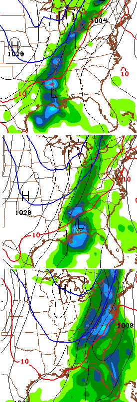
Scattered showers and thunderstorms will go up across the region today as upper level energy swings across the state. With a low freezing level… small hail will be possible. Here’s regional radar…

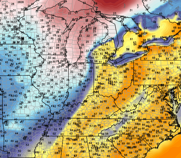
Temps today will spike toward 60 and then rapidly drop from west to east.
Improving conditions will be with us over the next few days. Highs by Thursday will head toward 70 degrees and we may see low 70s by Friday. That’s when a cold front works in with a band of thunderstorms…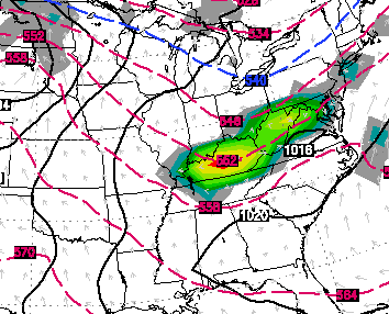
Temps behind that will actually rise with mid and upper 70s this weekend. 80 is possible for a few spots on a gusty southwesterly wind. A strong cold front will then sweep in from the west and this could touch off some booming thunderstorms ahead of it…
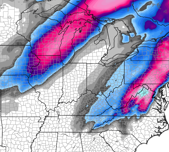
This front will have a big surge of cold air coming in behind it. Check out the temperature difference showing up as the front swings in Monday…
 Some of the models are trying to produce some winter weather behind it…
No, thanks!
Enjoy your day and take care.

If we were to believe the latest run of the Euro, it has us going into the teens and GFS has us in the 20s for next week around Tues-Thurs time frame. And they have been advertising this for a couple of days now, not sure what damage, if much, could happen to vegetation a week from now (and both show some snow too, possible accumulation )
Models also showed us being in 20s-30s last week for today and tomorrow.