Good Wednesday, everyone. While the weather is calming down in the short term, showers and storm chances will ramp up in the coming days. Temps also look to be much, much warmer as we roll through the rest of the week and into the coming weekend.
Let’s get after it. Temps today will range from the mid 50s to low 60s across the state. Skies will be partly sunny, but I can’t rule out a scattered shower or storm in the southeast.
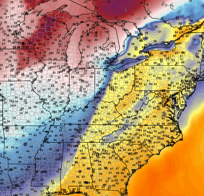
Temps by Thursday will head toward the upper 60s and low 70s with mainly sunny skies. This looks to be a fantastic spring day in the bluegrass state. Friday will find temps into the low 70s with the threat for showers and thunderstorms developing. A cluster of thunderstorms will be possible into Friday night.
Saturday finds temps heading back into the 70s and that carries us into Sunday. If we can get enough sunshine, temps may make a run at 80 degrees.
Scattered thunderstorms will develop from west to east later Sunday into Monday. That’s when a strong cold front enters the picture from the west…
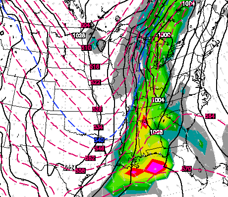
That may mean spark some big thunderstorms to go along with heavy rain. That heavy rain threat will increase if low pressure develops on the southern end of that front into Monday night and Tuesday.
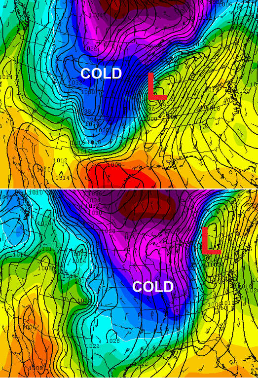
Check out the shot of cold coming in behind this…
 Enjoy your day and take care.

That cold is more welcome than 80 degrees. So extreme either way. Would be nice if these spring days stayed in the 60s.
A very strong cold front indeed…
U r crazy wanting colder weather than 80. Go live I Alaska. I think I speak for a multitude of people who agree with me…BRING ON THE SUMMER!!!!!!!