Good Saturday, folks. Another big time cold front is on the move toward the bluegrass state and will put an end to the nice run of fall weather we’ve been having. Don’t sweat it too much because another nice run of fall weather gets started early next week.
Highs today will be flirting with 80 degrees across much of the state. Winds will pick up a bit with a mix of sun and clouds. There is the smallest chance for a popcorn shower going up, but most areas will stay dry.
Current Temperatures


A strong cold front moves in on Sunday with a broken band of showers and thunderstorms. Here’s the simulated radar from the NAM for early in the afternoon…
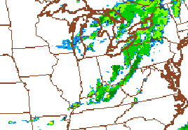
This won’t be a washout of a day, but umbrellas should come in handy at some point during the day. Winds will also be super gusty and could reach 30mph at times.
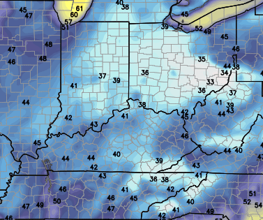
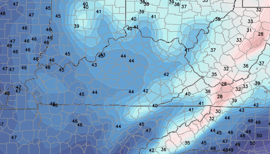
Much cooler air pushes in behind the front for early next week. Highs for Monday will be down in the mid and upper 60s with lows from reaching the 40s. It looks like Tuesday morning will be the coldest…
NAM
 GFS
GFS
From there, the weather pattern looks an awful lot like what we’ve been seeing this week. I don’t think too many of you will complain about that. Oh wait… 😉
Make it a great day and take care.
