Good Wednesday, everyone. A strong cold front is just to our south and that means some very nice weather across our region today. Try to enjoy it, but don’t let it spoil you. That same front is likely to throw some showers and storms our way into Thursday.
Highs today will be gorgeous with a lot of low 80s and lower humidity levels. Skies will be partly sunny, but a scattered shower or storm will be possible in the west and far south.
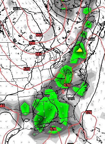
A wave of low pressure develops along the front later tonight and zip eastward on Thursday. That means showers and storms will increase and roll eastward with the low. The southern half of Kentucky looks to get the best chance of rain, but showers and storms may sneak north of Interstate 64.
The NAM certainly suggests this… The GFS has been showing this system well to the south, but is playing catch up…

Heavy rainfall is a good possibility for some areas and we will need to watch that scenario. Temps will continue to be pleasant.
Isolated showers and storms will be possible Friday into Saturday as humidity levels and temps inch up. Normal highs should be back with us.
A system dives in from the northwest late in the weekend into early next week. That may enhance our storm and heavy rain potential…
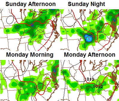
The storm threat continues into the middle of next week as a healthy trough tries to dig in across the eastern part of the country…
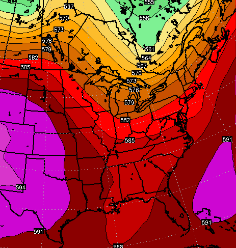 The end result is likely to be… more rain and storms. Here’s the European Model…
The GFS is very similar…
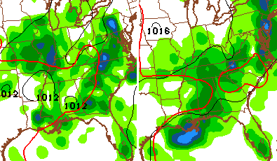 Your toned down tracking tools for the day…


Have a great day and take care.

Thanks Chris. I love the forecast for today! Have a great Wednesday everyone!
Certainly can feel less humidity in the air, and its a lot cooler this morning! Lovin’ it!
Ahhh…feels great out there. Louisville International (part of the dreaded heat island) is sporting one of the lowest dewpoints in the region at 51 last hour.