Good evening, folks. It’s been a busy day for your friendly weatherdude. In addition to my normal day at work, I have been busy shooting promos for the winter forecast that airs Friday at 6 on WKYT. Here are some quick thoughts on the big change ahead.
Temps really take off over the next few days and should hit the 70s Thursday and Friday. Winds are going to be a huge player as a strong cold front swings in here Friday night. That front will usher in showers and thunderstorms ahead of it, and a quick transition to some winter weather behind it.
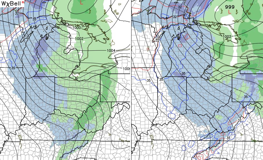
The models are quicker with the cold and suggest the back edge of the rain line could end with some snow mixing in Saturday morning. Then, the northwesterly flow could kick in with the potential for some flakes in central and eastern Kentucky…

The brand new GFS is just in and shows the wraparound Saturday snow showers very well…
This is a strong northwesterly flow that can give us wind gusts of 30-40mph on Saturday…

Much of Saturday and Sunday will find daytime temperatures in the 30s with wind chills in the 20s. Overnight lows by Sunday night can drop into the upper teens.
Another system makes a run at us and may impact our busy Thanksgiving Travel period. This is from Tuesday night into Thanksgiving…

Maybe some rain and snow during this time? Hmmmmm
Looking toward the final week of November… The Ensembles are going wild with blocking across Canada and into the Arctic, leading to a cold and stormy setup across the states…


If you want a cold and snowy December, lock that pattern up!
See you guys later tonight. Enjoy the evening and take care.

…and we were so afraid our snowblower purchase last year would jinx us for this winter…LET IT SNOW!
The staff at NWS Nashville had just bought a new snowblower and it sure paid off last January when Nashville got 8 inches of snow (8 inches at the main Nashville airport but NWS Nashville’s office is actually to the northeast at Old Hickory TN where IIRC they got even more snow).
We’re due for a fun December around here after such a warm one last year!