Good Saturday everyone! The weekend is starting off on a rather steamy note across the state, but do NOT get fooled by what your thermometer will be showing today. Some much cooler air is on the way in a few short days.
Today will be interesting to see just how high those temps can get. I do think many areas can get to 90 degrees but the wet ground will try to do everything it can to halt that. The hottest temps will be to the west where a heat advisory is out for western Kentucky. You can track today’s temps through the good folks at Kentucky Mesonet…
Current Temps
Heat Index
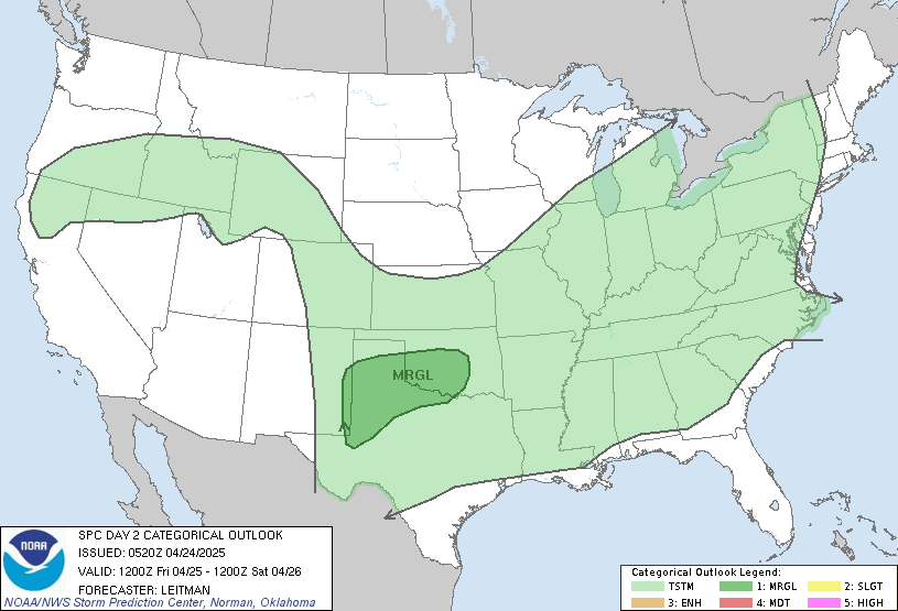
A strong cold front arrives on the scene Sunday with showers and storms increasing through the day. We may see a squall line of severe storms developing along the front as it sweeps through later in the day. The Storm Prediction Center has much of the area in a risk for severe weather…
Temps could really surge just ahead of the front moving in so keep that in mind. Once it blows through… temps will begin to come down for the upcoming week. An impressive cut off low pressure is likely to develop across the eastern US next week. You rarely see something like this during the summer months….
NAM 500mb Chart Tuesday Morning
Like I said… impressive! What does that mean for us? How about below normal temps and some afternoon or evening showers and storms that could produce some hail. Temps may not get out of the 70s for a few days and lows can dip toward the low to mid 50s for a morning or two. That is certainly not set in stone as it depends on exactly where the upper low sets up. Regardless… there should be no signs of real heat leading up the 4th of July!
The tropics are trying to come to life as we have a disturbance that may develop and take aim on the Gulf of Mexico into early next week. Here is the threat map from the Hurricane Center…
Before I leave you I want to share a couple of flood pics from this past Thursday’s rounds of storms. The first pic is from Dan in Lexington who took this great shot of the 17th hole at Andover…
That is what I call a water hazard! ![]() I used to live not too far from this and would ride my bike in that area.
I used to live not too far from this and would ride my bike in that area.
The next pic is from our buddy Jason down in Waco in Madison County where more than 4″ of rain fell Thursday. The result…
Thanks to everyone who takes the time to send pics to the blog. I can’t get around to using all of them, but I appreciate all you do for us. We will be doing a storm report video program from you guys in the near future so get your camcorders ready! ![]()
I will have another update later tonight so check back. Stay cool and take care.
Select Page

Great pictures, guys!
Thanks for the update, Chris. I hope
you’ve been getting some rest.
Have a great day.
The storm that hit Bourbon County Thursday evening had the most intense lightning I’ve seen in a long time. My poor hubby was stuck on the driveway in his car. I wouldn’t let him get out and the garage was too full of junk for him to pull to safety. He sat for 30 minutes while I moved the stuff enough for him to squeeze halfway in the garage. I
Question for you experts — when lightning is zapping around like that, how much of it is actually hitting something? If even 10% of those bolts made contact, there would be very little left around here. I was amazed. The hair on my arms was standing straight up and the air was crackling.
Cooler weather sounds fabulous. 🙂
Hey Chris
I wanted to mention a couple of things. When ever you have a new blog post and I receive the notification via email, my Avast anti virus here recently has started giving me a warning. I don’t know why. Also, when you had the live chat the other day, I tried to chat and it didn’t work for me. Every time I said something it wouldn’t show up.