Good evening, folks. It’s an absolutely raw and cold spring evening across the bluegrass state as we are right in the middle of an ugly setup. This has the chance to deliver a little light rain and light snow action coming up on Tuesday.
Winds are gusty this evening, but nowhere near what we have had the past 24 hours. A touch of drizzle or a light shower is lingering across the eastern half of the state…

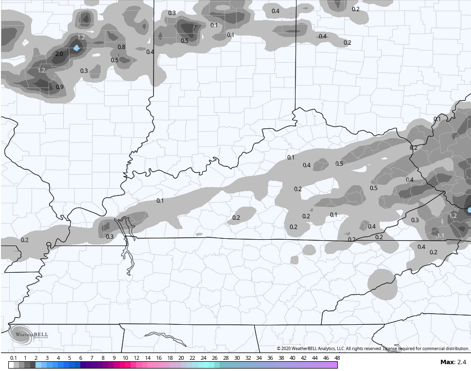
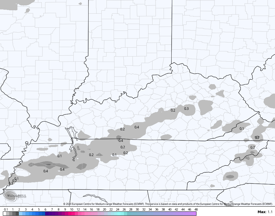
A fast-moving system moves through here on Tuesday and may have a stripe of light rain and light snow with it. This is coming from southwest to northeast. Check out where the models think will see some flakes…
NAM
EURO
 Temps behind this will absolutely tank, leading to a hard freeze by Wednesday morning. Most areas drop deep into the 20s, but the NAM is probably too cold here…
 That would be record breaking cold if the NAM is right, but it’s likely too cold.
We still have more ugly on the way later this week and I will get more into that later tonight. Until then, make it a good one and take care.

Are we headed towards another 2007-esque summer?