Good Monday, everybody. June is kicking off on a very nice weather note, but that’s about to change as steamy air surges in from the southwest. This will lead to toasty temps and high humidity levels, with storm clusters setting up later in the week. As this happens, we will be watching for a potential tropical system in the Gulf. Yep… It’s going to get active again.
Today starts with near record lows in the low 40s across the eastern half of the state. By the afternoon, most areas are into the low 70s east and low 80s in the far west. Skies remain awesome!
Temps spike into the 80s for Tuesday as we start to steam it up a bit. This steamy air really settles in on Wednesday as the numbers make a run at 90 in the west…
 A weak front drops in from the northwest and brings a few storms into the region Wednesday night and Thursday. Given the orientation of this front and a ballooning heat ridge to our west, complexes of storms may roll in from the northwest through the end of the week into the weekend. The EURO actually drops that front to our south by Saturday, bringing another shot of below normal air…
 At the same time, we may very well be talking about a named storm developing in the Gulf of Mexico. We’ve talked about this for more than a week and it’s now showing up on the Tropical Weather Outlook from the National Hurricane Center…

That system may slowly lift northward toward the north and may impact the US in a week or so. The operational models will struggle with what to do with this…
 Can this impact the weather around here? It has a chance,but is far from being a certainty.
Temps are likely to remain very warm through next week, but signs are showing up for the next shot of below normal temps around the middle of the month…
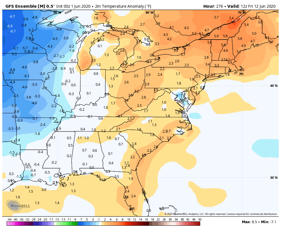 This could be a continuation of our back and forth temp pattern!
Have a great Monday and take care.
