Good Thursday, everyone. It’s a calmer and cooler pattern settling into the region today and this kicks off an awesome stretch of summer temps. As a matter of fact, the weather is going to feel more like September than the middle of June.
Highs out there today are into the 70s with comfy air and plenty of sunshine taking over.
The numbers for Friday jump up a little as another front approaches from the northwest. That may touch off a shower or storm late in the day into Saturday, but this isn’t very widespread. This brings even cooler air in behind it for the weekend and early next week.
This is when a deep trough digs in and closes off over us and just to our east…
GFS Ensembles

EURO

Depending on where that upper low sets up, we could see a few showers sneaking into the picture at some point into early next week.
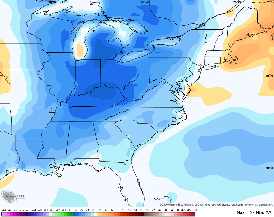
Temps average way below normal over the next 5 days…
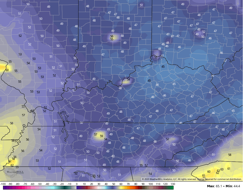
Highs in the 70s look common this weekend with Sunday being closer to 70 for some. Lows by Sunday and Monday may drop into the 40s…
That could put some areas within reach of a record low.
Enjoy the day and take care.
