Good Good Friday, everyone. It’s another frigid early April day in Kentucky, but things are looking up just in time for the Easter Holiday Weekend. The temp trend is up as we hang on to a sun splashed sky. 🌞😎🐰
We are starting our Good Friday with near record lows in the low and middle 20s for the entire region. Wind chills are in the teens, making for one of the colder April mornings you will ever find around here. By the afternoon, temps only recover into the 45-50 degree range for many under a mainly sunny sky.
Easter Weekend starts with temps below freezing Saturday morning, but finds afternoon temps in the upper 50s to low 60s with sunny skies. Easter Sunday looks even better with a mix of sun and clouds and temps ranging from the upper 60s to low 70s.
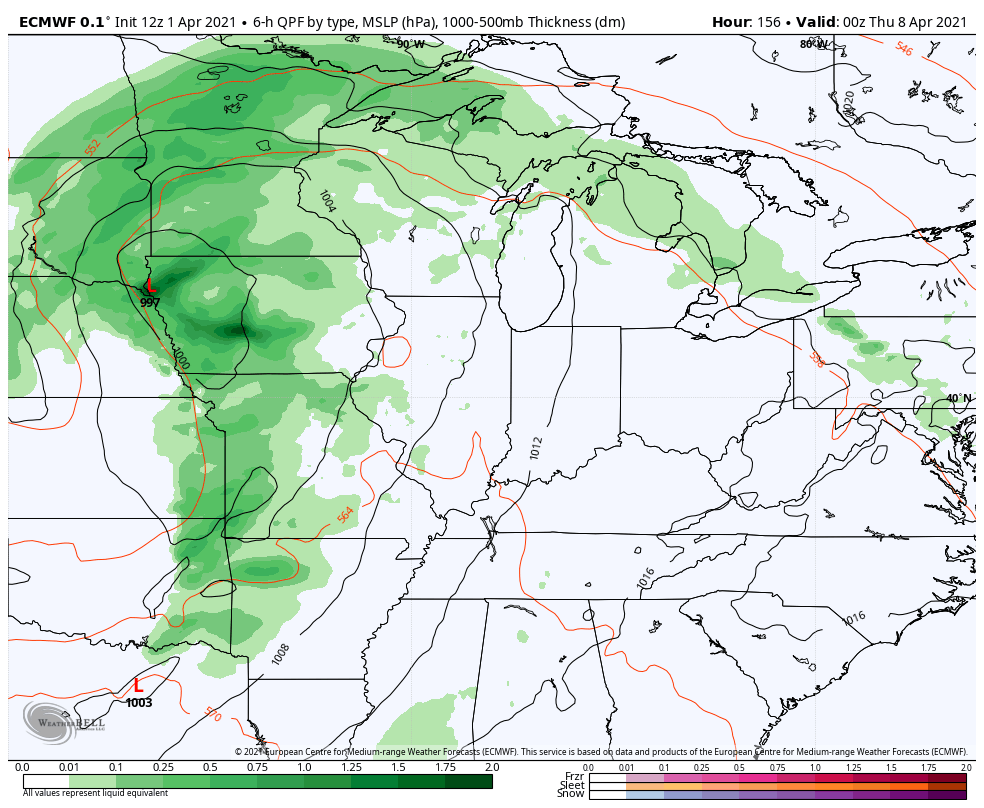
Temps reach the 70s early next week ahead of our next storm system rolling in here for the second half of the week. This looks like it can become a very slow-mover and produce some ugly weather right on into next weekend…
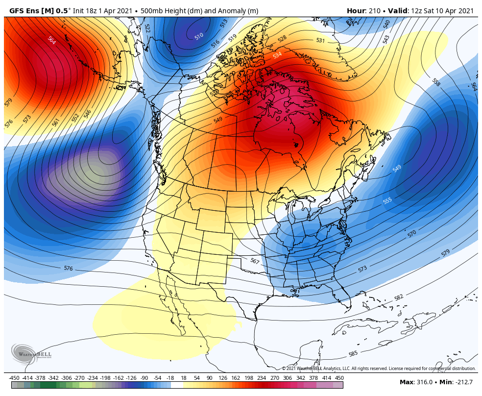
As I’ve been saying for a few days, the potential for a little bit of ugly continues to show up into the middle of the month. The Ensembles are in good agreement on a trough developing in our region…
EURO

GFS
As I start to look toward the summer months, there are some pretty tame summers showing up in some of my early research.
Enjoy your Friday and take care.

Thanks Chris, and I hope you and your Family along with everyone has a safe and Happy Easter Sunday.
I’m sure we will have a lot of weather to discuss through the Spring and Summer months.
The freeze this morning is long lasting and severe. Right now I have a temperature of 23 degrees. It’s been below freezing for much of the early morning hours.
Looking forward to Sunshine and milder temperatures on Easter Sunday.