Good Sunday, everyone. Today is a very active weather day across the Commonwealth as we track strong to severe storms through the area. These storms will pack high winds, large hail and even a few tornadoes.
One round of strong to severe storms works across the west early today. We catch a bit of a break after that as humidity and temps surge. This turns toasty for many but this is adding fuel to the atmosphere for more big boomers.
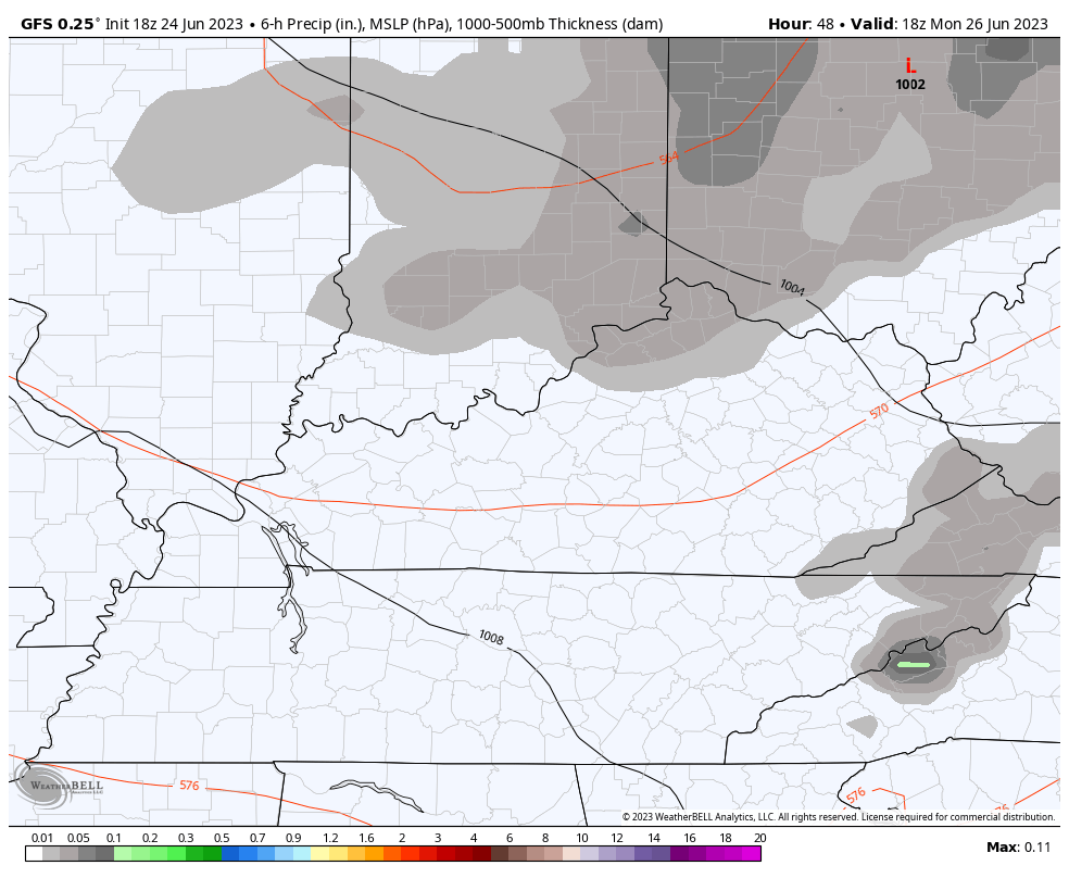
Storms develop across southern Illinois and southern Indiana later this afternoon and early evening. This line quickly intensifies as it races into Kentucky and will likely cause issues this evening and into the wee hours of Monday.
The Storm Prediction Center shows today’s risk…

Here’s a breakdown of the individual threats we are facing…
Damaging winds…

VERY large hail is also likely with these storms…

I’m concerned about a few tornadoes spinning up and the SPC is all over this potential…

Temps crash behind the storms as much cooler winds blow in. With a spinning upper low across the region, wraparound showers and storms will drop in from the northwest late Monday into Tuesday…
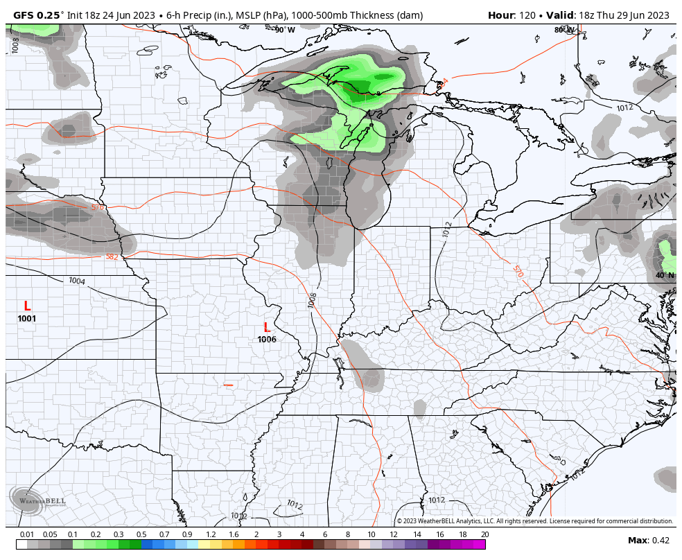
Steamy temps surge in for the end of the week but this won’t hang around long as we cool it down again over the weekend into the start of the 4th of July week. Rounds of showers and storms are likely to rumble through here late Thursday into the weekend and some severe storms are a good bet…
I will update as needed and be on WKYT-TV as needed today. I leave you with your storm tracking tools…

Current watches

Possible Watch Areas

Make it a terrific Sunday and take care.

I continue to be concerned about the severe potential in Western and South Central Kentucky this afternoon. Temperatures wiĺ beapproaching 90° and dewpoints in the mid 70’s withe provide ample moisture. The atmosphere over southern Kentucky will be particularly unstable, with CAPE readings in the 2,000 to 4,000 range. Winds will be very strong, though the area with the highest potential for severe hail has been pushed into northern Kentucky .
Potential catastrophe for some, especially North of the Ohio River. The Ventusky indicating stormy times into the beginning of July. I am ready for Fall and Winter weather if this is going to be our Summer.
Potential catastrophe for some, especially North of the Ohio River. The Ventusky indicating stormy times into the beginning of July. I am ready for Fall and Winter weather if this is going to be our Summer.
Potent line of storms approaching your area, Schroeder, should arrive approx. 45 minutes or so. Line just missed me to the north, but dewpoint here already is 70°. Will be rough this afternoon.
Watching as the first wave comes through. I hope we don’t have a Sunny afternoon after this wave goes through as this would destabilize the atmosphere for the next severe event later.
Sorry for the duplicate Chris, it’s my fault. I am still learning how to post. Hoping this post is not a double.
Finally, for the first time since April, the entire Chicago Metro Area received significant rainfall in the early morning hours today as a large area of showers and strong thunderstorms moved through. There was a Severe Thunderstorm Warning issued for the W and SW Suburbs of Chicago just around 1:15 AM for damaging winds over 60 MPH. Many branches and debris were scattered around, but there was no major damage.
This should help alleviate the severe drought we are in, with off-and-on chances of showers and thunderstorms predicted through the week.
Days when we get several hours of steady rain seem to be few and far between, Mike, while the normal these days is extreme. It’s symptomatic of our increasingly juiced up atmosphere
Squall line went through with loud thunder and some lightning along with a fairly good rain. A garden variety thundershower. Hope it stays cloudy and rainy the rest of the day.
Squall line went through with loud thunder and some lightning along with a fairly good rain. A garden variety thundershower. Hope it stays cloudy and rainy the rest of the day.
I am about ready to give up on this internet. I didn’t learn on this, and I know we were happier when didn’t have it. In my opinion it’s pure evil.
The revised update from the Storm Prediction Center indicates that eastern Indiana, western Ohio and extreme northern KY will be seeing the worst of today’s storms, with MLCAPE values of 3000 to 4000 j/kg and up to 45 mph shear indicating the potential for strong tornadoes and large hail in that region.
A few supercells and some tornado spin-up will be possible in the rest of KY, where strong winds and significant hail are likely. Not a good day, at all.