Good Friday, folks. We’ve made it to the end of the week and we’re starting off the first weekend of November on a REALLY nice weather note. This nice weather hangs around for most of the weekend and early next week before we change things up a bit.
Let’s begin with what we have out there today. Highs are in the 60-65 degree range for many as some late clouds roll in. Those clouds are ahead of a weak system working in for the weekend and this may spit out a shower at any point from late Friday night through the first part of Sunday.
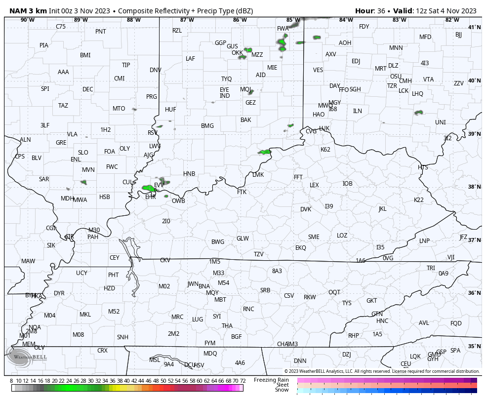
The Future Radar from the Hi Res NAM shows some of these showers…
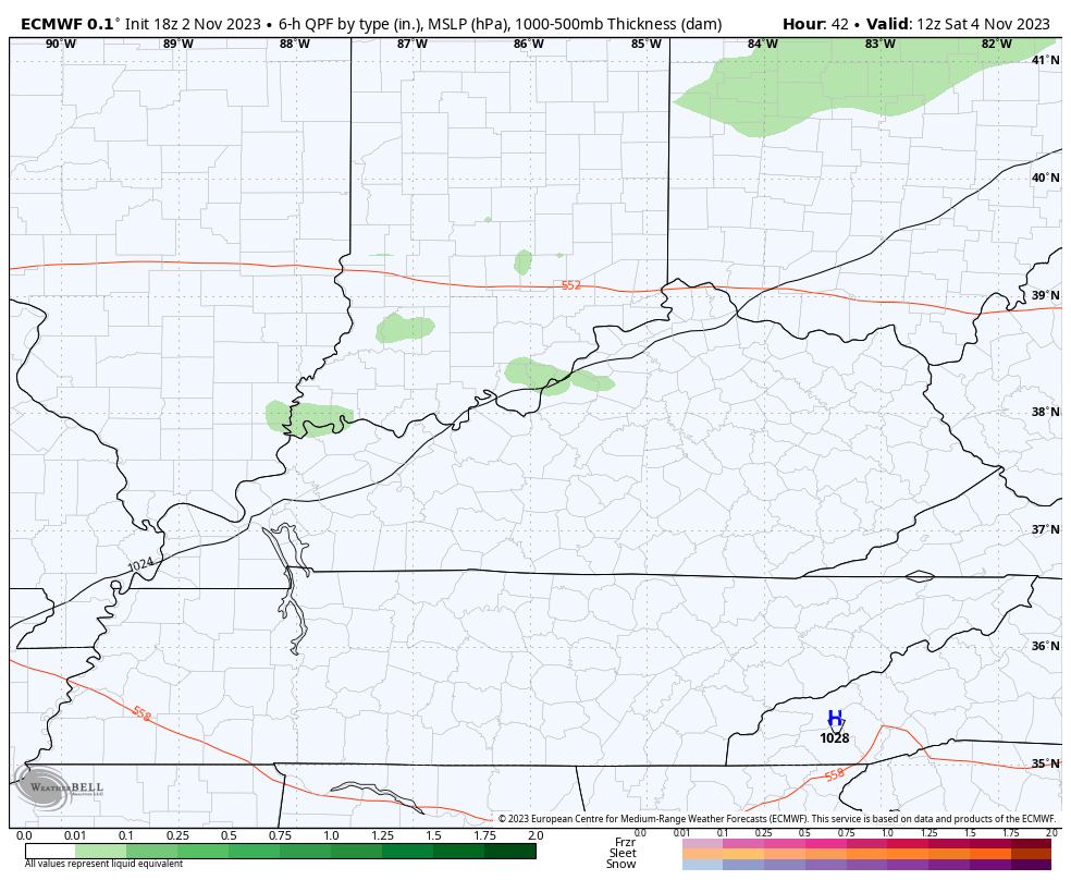
The EURO is also showing some of these…
Temps on Saturday and Sunday will range from the upper 50s and low 60s in the north and northeast to the mid 60s in the west and south.
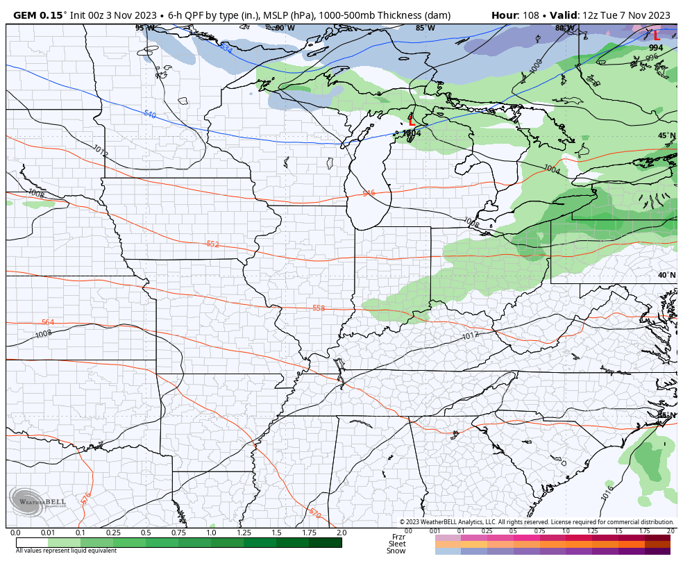
Temps spike deeper into the 60s early next week as we try to time the next system into the region. It looks to throw a few showers into the region on Election Day with the main rain threat coming later Wednesday and Thursday as the main low works across the region…
Colder air works in behind this for the end of the week into the weekend.
Looking farther down the road courtesy of the CFS, we find the model signaling the potential for some cold turkey. Check out the 7 day average 500mb height anomaly for Thanksgiving week…
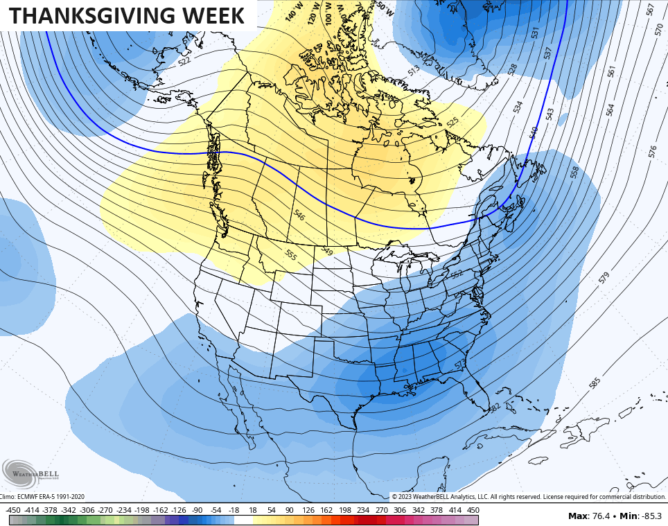
Lower heights across the east and southeast with what appears to be a split-flow pattern setting up could mean active weather to go along with the colder look. Gobble-Gobble 🦃🦃
I will have another update later today. Make it a great day and take care.
