Good Monday, everybody. Our President’s Day is a really pretty darn nice one and we have even better weather for the next few. Beyond that comes some thunderstorms as our pattern starts to take on more of a spring look and feel.
Temps today range from the upper 40s to middle 50s with a mix of sun and clouds. Tuesday is another nice one with temps deep into the 50s.
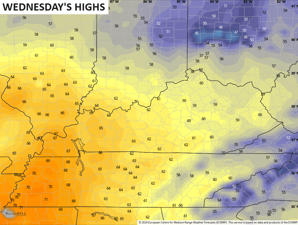
Wednesday puts some spring in your step as the numbers flirt with 60 central and eastern Kentucky and mid and upper 60s west…
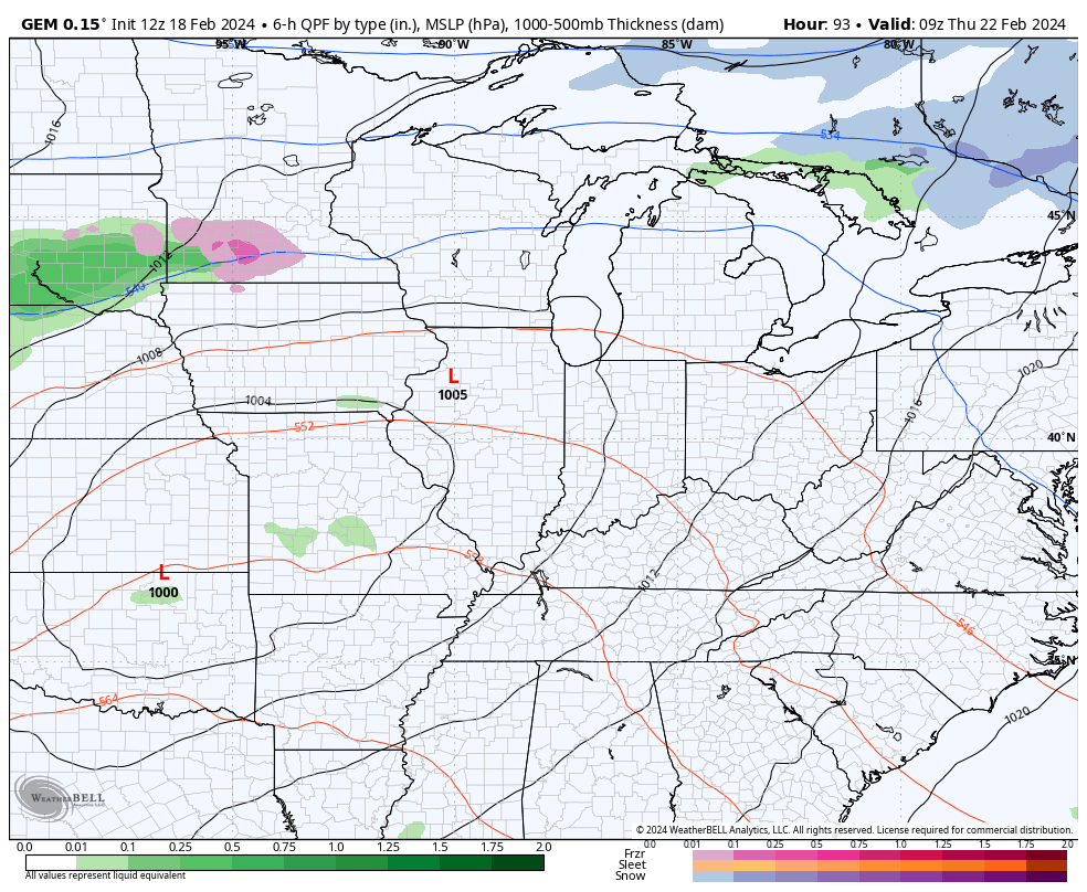
Winds will begin to crank Wednesday with gusts of 35mph possible Wednesday night and Thursday as low pressure moves through here. This low brings showers and a few thunderstorms with it. Colder air comes in behind that for Friday into the start of the weekend. There’s even the chance for a few flakes to fly…
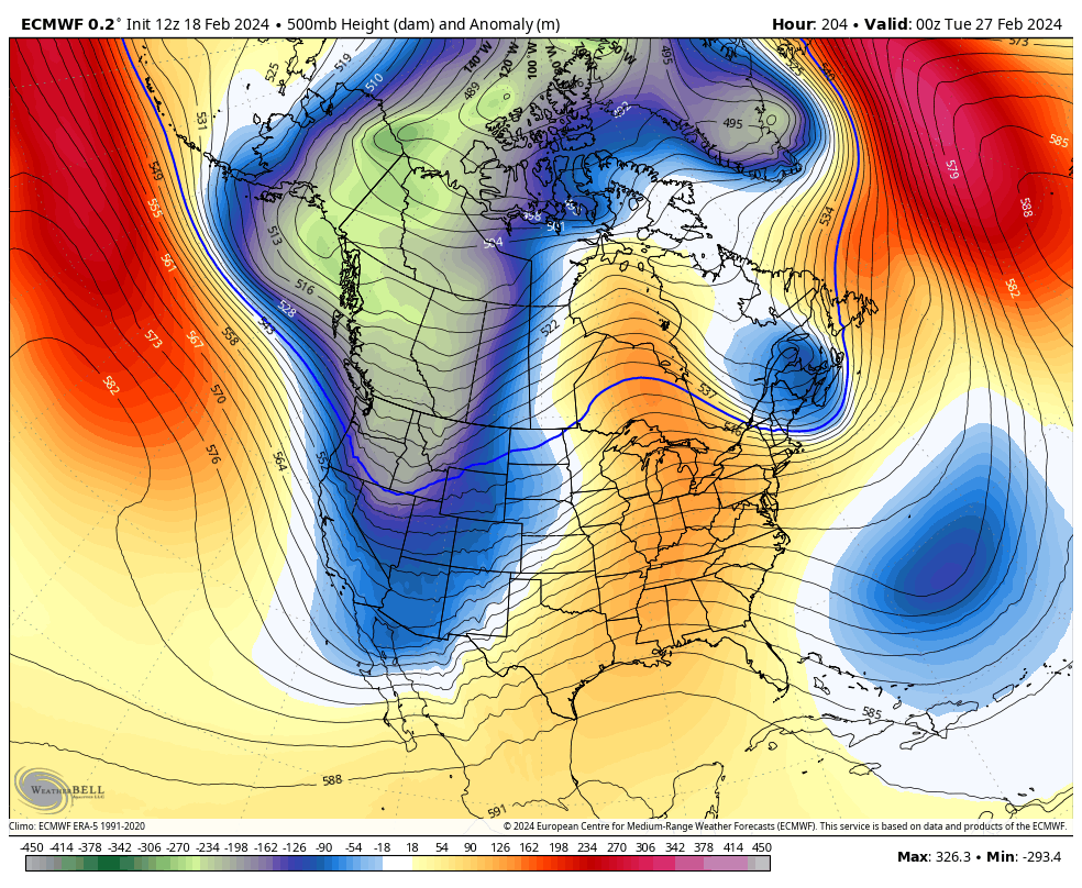
Temps bounce right back up behind this with the first half of next week seeing numbers reaching the 60s. This comes as a ridge of high pressure balloons across the eastern half of the country with a trough diving into the west.
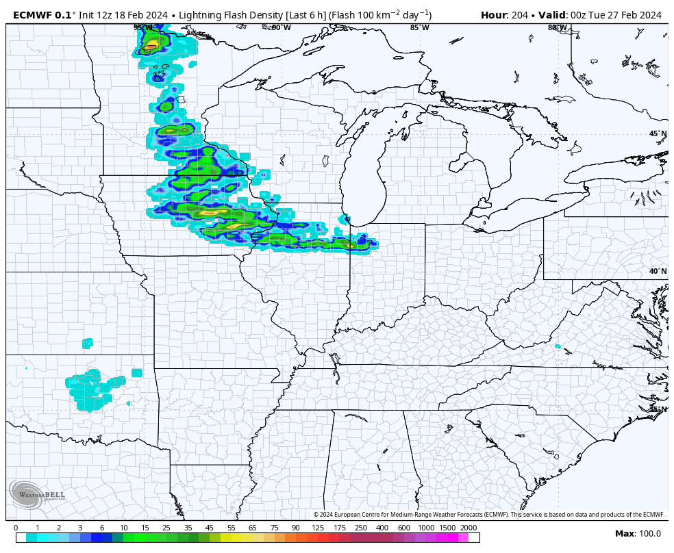
That trough does get into the plains states by next Wednesday…
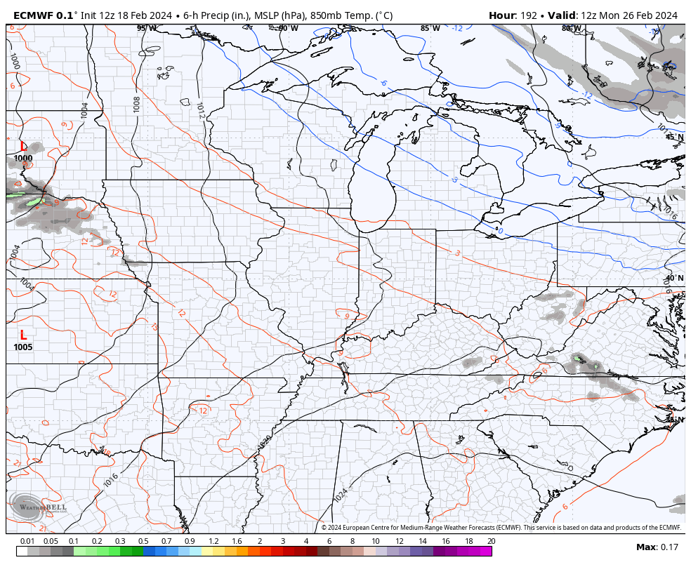
The end result in a setup like that is likely showers and strong thunderstorms…
Check out the EURO lightning forecast for this same time period…
I’ll have another update later today so check back. Make it a great day and take care.

Thanks Chris. Are you seeing cold returning for any prolonged time? Well if we can’t have snow I will just go out and enjoy my 60s temperature. I hope though we see one more snow. Something tells me the storms maybe severe this summer season. I wonder how hurricane season will be? Everyone enjoy your 60s.
Crystal, I’m thinking that mid-March through the end of April could see higher severe storm activity, not in number of storms, but in higher storm strength.
I agree with the severe weather time period, and yes we could have at least one event that may bring widespread devastation, but I hope not. With the PDO in the strong negative phase, I would expect an active tropical storm season. I would be very surprised if we have anymore winter weather in our part of the country. Another dud winter in the books. With La Nina waiting in the wings for next fall and winter, I don’t really see any changes that going to give our area an entire winter with frequent snowstorms like we had when I was growing up.
Thanks for the update Chris. I really think spring is here, and I still think that plants will come out of their dormancy too early. I really hate to see that. It really pains me to experience a healthy plant bloom early and then get destroyed by a hard freeze. Only lower night temperatures below 35 degrees might delay this from happening.
Have a great day everyone !
Looks like the outlooked cold air might be leaning Team Spring with rough storms? Hopefully not too rough.
I hope to get a Spring Season Outlook to see what sort of Severe Weather season we are going to be possibly looking at.
Here’s NOAA’ S outlook for ( MAM ) These folks are about as accurate a long range can get. Doesn’t look too bad as far as severe weather :
https://www.cpc.ncep.noaa.gov/products/predictions/long_range/seasonal.php?lead=1