Good Saturday and Happy 4th of July, everyone. It’s the 250th birthday for our country and it’s also the 18th birthday for KWC. Some toasty temps and scattered storms are out there for our big day, kicking off a pattern that skews stormy once again.
Here’s a quick breakdown of how things are looking in the days ahead…
- Temps out there today are generally in the upper 80s to low 90s with humidity making it feel a little hotter than that.
- A storm or two will blow up across the region but it won’t be all day stuff.
- A better chance for storms will then show up on Sunday with temps back into the upper 80s to around 90.
- Scattered showers and storms increase into early next week and become a little more common.
- Any storm that goes up from today through early in the week.
- We will also have to be on guard for locally heavy rains with the potential for some hit and run high water issues.
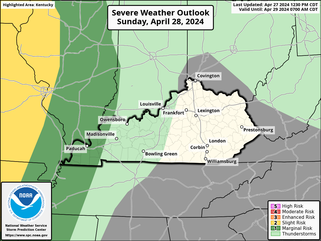
In terms of the severe weather potential, it’s not the greatest in the world but it’s enough for the Storm Prediction Center to put out the low-end risk for parts of the region…
Today

Sunday
Monday

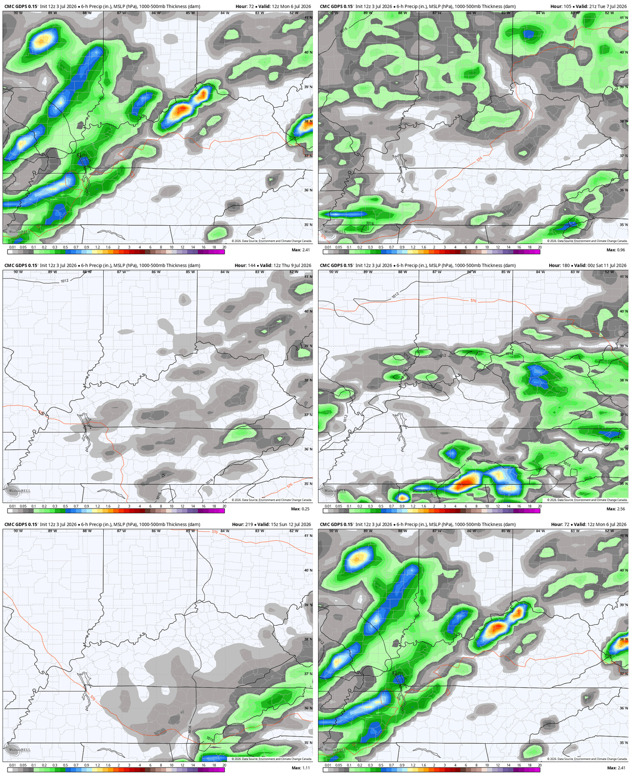
It’s a rather active setup next week with additional waves showers and storms going up…
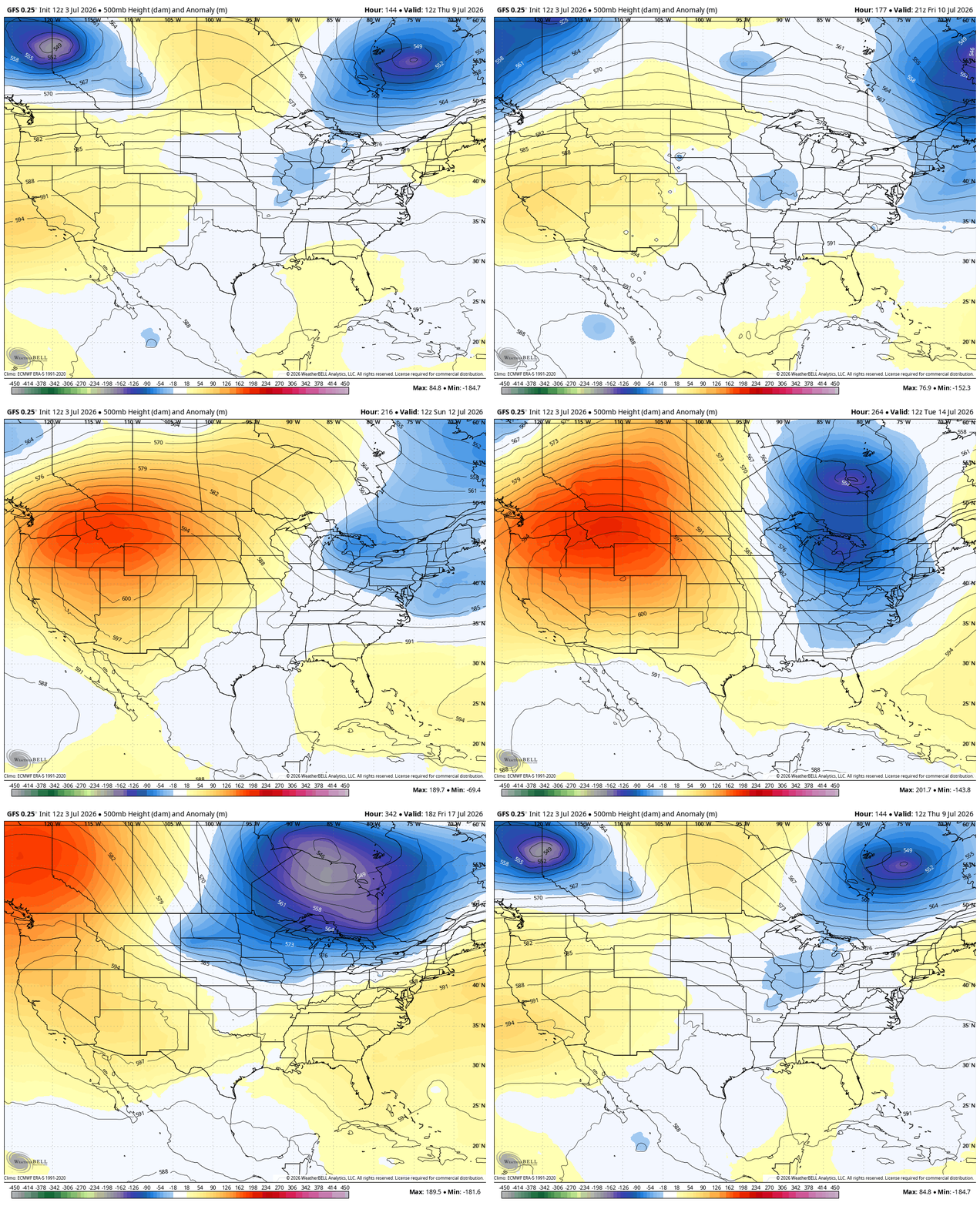
We are likely to see the heat ridge expand back to the west with the propensity for dips on the jet stream in the east over the next few weeks.
Some of the recent runs of the GFS show this well…
As always, I leave you with your daily tracking toys…




Current watches

Possible Watch Areas

Make it a Happy 4th of July and take care.

Thanks Chris. Happy Birthday America and Happy Birthday Kentucky Weather Center.
After the 8 inches of rain last Sunday, we really don’t need anymore, but sometime down the road we will. After today, I will welcome the cooler temperature. Enough Summer weather already.
Summer is just getting going.
Jeff, I’ll just be glad when this entire year is over. I have cancer surgery coming up in just a few weeks. Wasn’t really referring to the end of Summer. Hope you are enjoying the very warm temperatures here lately.
A Flood Watch is in effect for the Chicago Metro Area through tonight, as many areas here have received between three and five inches of rain in the last 48 hours from several waves of strong to severe thunderstorms.
Mike, The strong High Pressure ( Bermuda High ) is blocking the rains here. Like it did early this Summer. Raining and stormy on the west and north edges of the High where the air is rising and condensation is occurring. Hope the High weakens in a week or so. By then we will welcome the rains.