Good Monday, everyone. The first week of November is off and running with departing showers making way for a much bigger system to arrive by the middle of the week. This system will bring widespread rain and thunderstorms across the state with a few chillier systems to follow.
Showers today will be more prominent across the north and east with slow clearing arriving from the southwest. Temps range from the 50s in the far north and east to the 70s in the far south and west.
Strong southwest winds kick in for Election Day, boosting temps into the 70s. Winds gusting to 30mph will be possible as we watch a storm system approaching from the west. This system sweeps through here with showers and storms Wednesday with some showers lingering into early Thursday.
Another system drops in behind this with a few chilly showers possible on Friday. Here’s what this looks like…
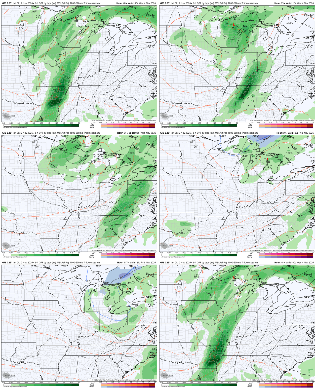
I could make the case for a few strong storms on Wednesday, but the instability is lacking. Winds gusting to 35mph will be likely as the front sweeps through here on Wednesday.
Seasonable temps will be noted from the end of the week into the weekend as the potential is there for another system to sweep in from the northwest. The GFS brings this in here by Sunday and keeping it going into early next week…
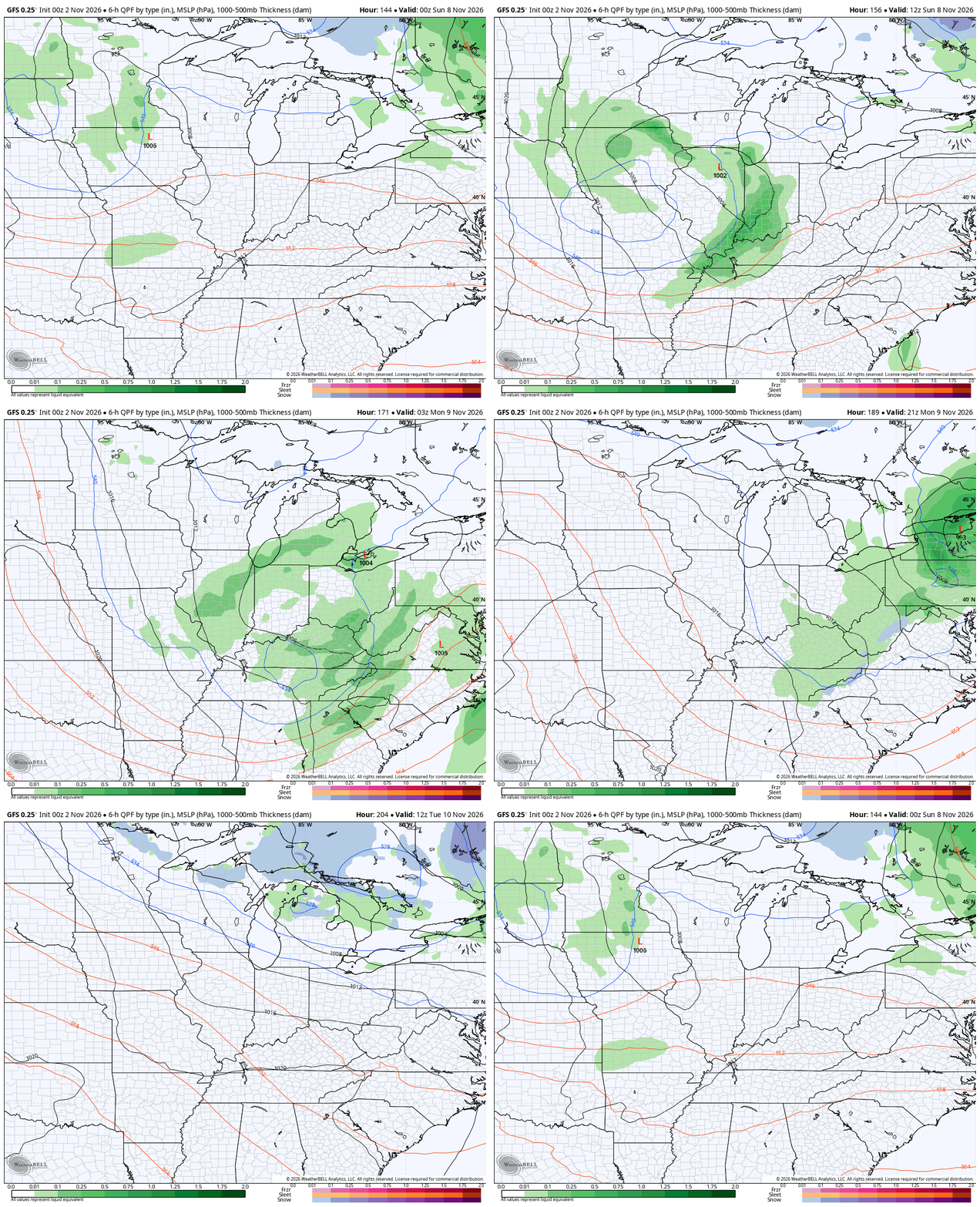
That’s a nice shot of seasonable chill with that.
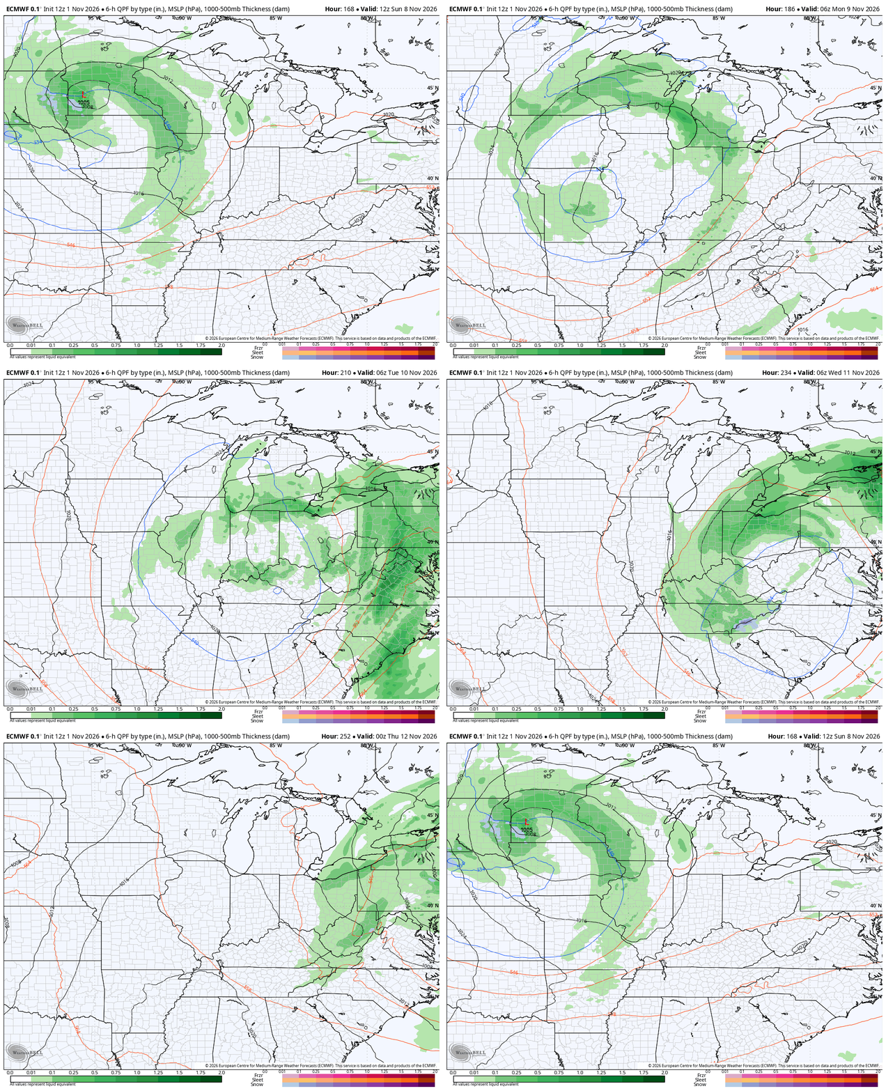
The EURO has a similar looking system…
Looking longer range, the Euro Weeklies continue show the transition toward a more winter looking pattern for the second half of November with that getting further established for the first half of December. Check out those massive positive height anomalies showing up across Canada into the arctic allowing for that trough to slide underneath…
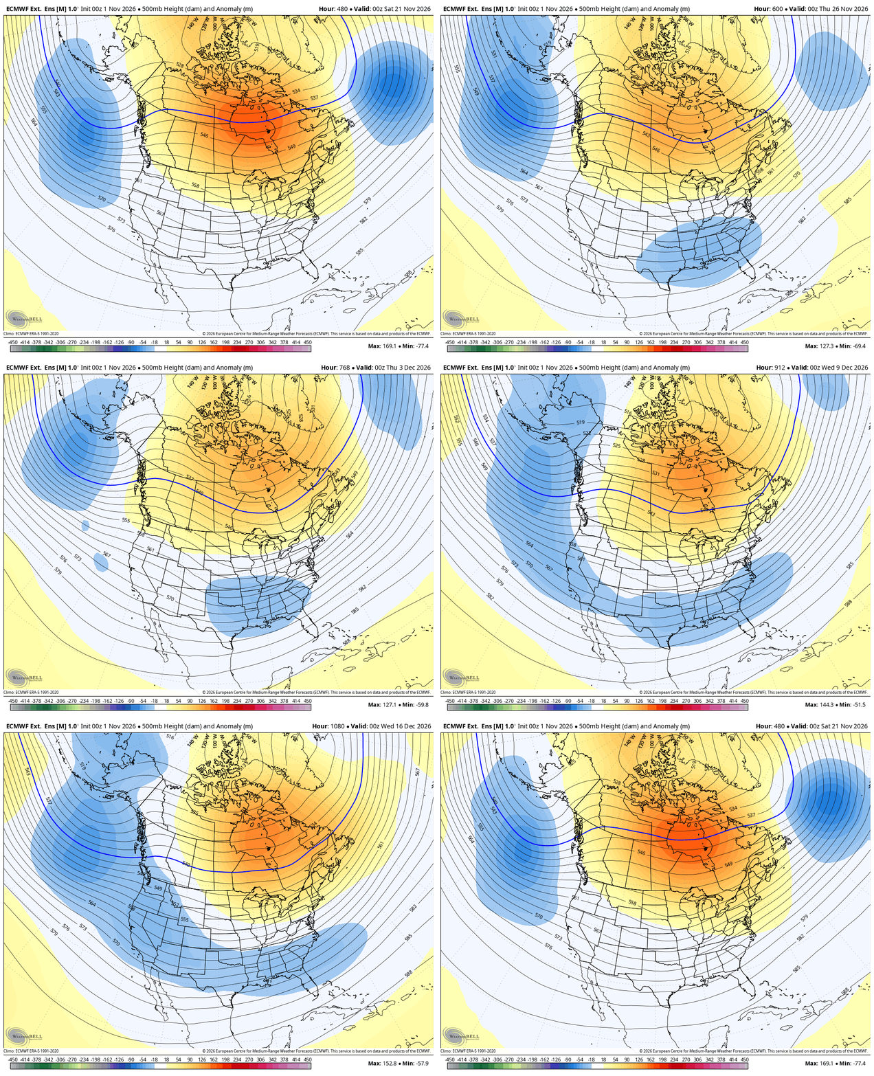
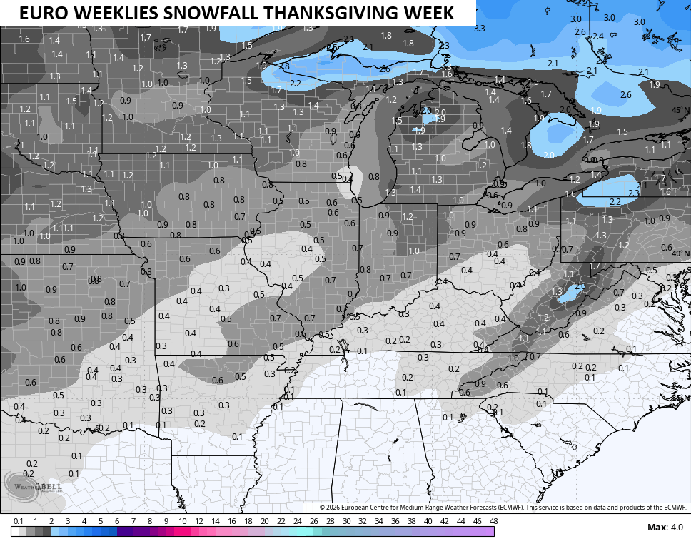
That could be just cold enough for the threat of a few flakes Thanksgiving Week…
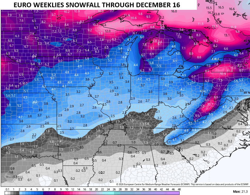
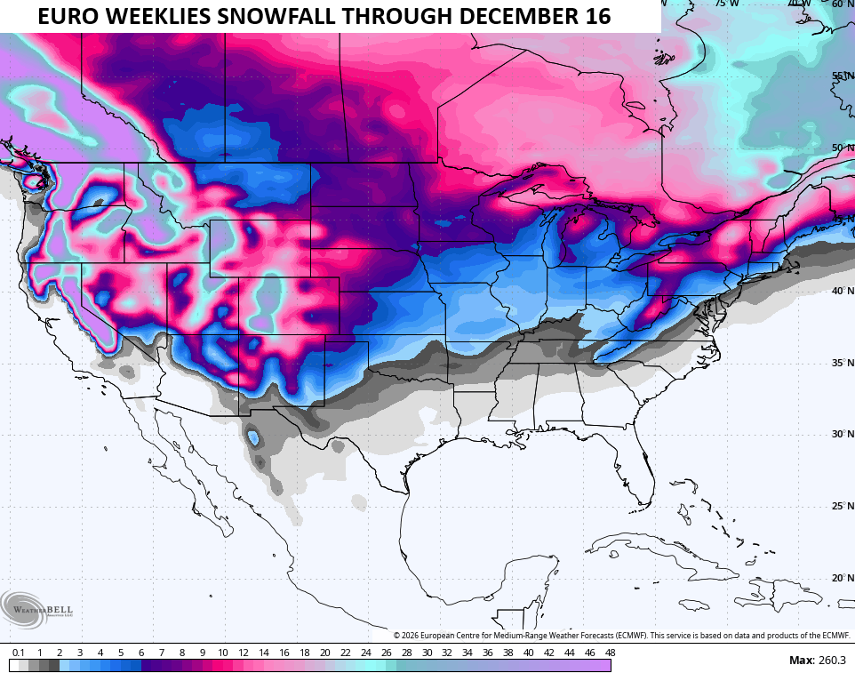
Here’s what the overall snow map from the Weeklies looks like through mid-December…
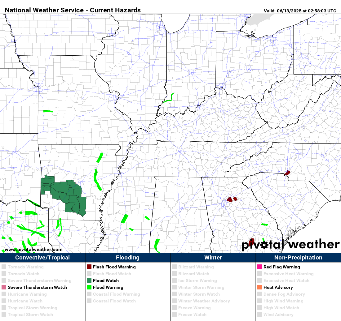
For the first time in a while, I leave you with your tracking toys of the day…



Make it a magnificent Monday and take care.
