Good Sunday afternoon everyone. The rain arrived on time this morning and will be in no big hurry to get out of town. Some parts of western Kentucky have already picked up 2″ of water and we have a lot more to go through over the next few days. This pattern may also produce strong or severe storms by Tuesday.
This is a VERY rough and tumble pattern and when it goes wintry on us… watch out. It’s one that can produce some monster winter storms across our part of the world.
It’s all about the heavy rain and possible severe weather in the short term. The NAM continues to show another 1″-3″ of rain through Tuesday night…

Areas getting in on thunderstorms can pick up much higher totals.
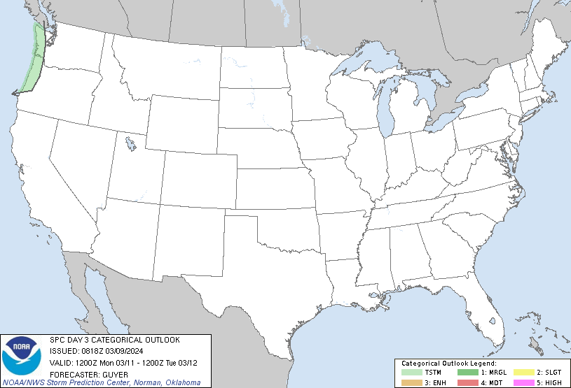
The setup for Tuesday into Tuesday evening is fairly potent in terms of producing severe weather and high winds. The Storm Prediction Center has much of the state in the slight risk…

Damaging winds will be possible with the storms Tuesday into Tuesday night.
The storm moving in for next weekend looks like a biggie and can produce more in the way of heavy rain and strong storms before making a wintry transition.
It’s a busy time in the wonderful world of weather and I have little doubt this is going to lead to a wild winter!
Rain tracking toys…
Have a great rest of your Sunday and take care.

Hi, this is a comment.
To delete a comment, just log in and view the post's comments. There you will have the option to edit or delete them.