Good Tuesday to one and all. Sizzling temps continue across the bluegrass state for a few more days. Highs from the upper 80s to low 90s will combine with high humidity levels will make it feel steamy, to say the least. This pattern isn’t setting in for the long haul. Thunderstorms will take over and put an end to the typical summer heat.
Skies today will be partly sunny with the potential for isolated showers or thunderstorms…

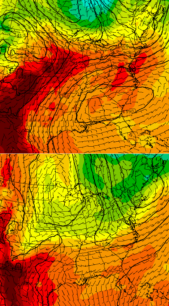
Current temperatures

Wednesday is start to take on the look of having a few more storms than I originally thought. That could keep the temps down a bit if the storms develop. The threat for showers and storms will increase Wednesday night into Thursday…

Showers and thunderstorms will then ramp up even more from Friday through the weekend. We will actually need to keep a close eye on the potential for clusters of strong storms diving in from the northwest. That action may hang around into early next week as cooler air moves in. Check out the change from now to then…
 Have a wonderful day and take care.

Ahh, bring on the fall weather! I’m already tired of heat. A snow squall would be nice about now, followed by wind chills 20 below. Maybe even a clap of thunder to add to it. Would you rather mow the lawn in 110°+ heat or shovel some snow in 0°- cold?
Right with you buddy. Fall can not come soon enough!
I would rather do neither.
Agreed. Give me a low-humidity 81 degrees, please.
Neither one. I prefer that people stop complaining about weather because there is nothing you can do except deal with it.
My bad, my intentions were not to complain nor offend anybody. I just wanted to add some chilly thoughts in people’s minds while this heat party starts. In fact, I enjoy the heat and enjoy all flavors of weather. I’d just prefer winter over summer but I still love summer. I always live the moment, especially in weather and enjoy every part of this heat. (Believe it or not) Sorry for the misinterpretation.
You’re fine, don’t let anyone make you feel as though you need to apologize for anything.
Based on your statement, I’d suggest staying out of any country market or store, and surely never engage in conversation with anyone over 50. Also, it would seem a pretty safe bet to avoid reading the comments here, you know, ever.
Hmm, so if I object to your comment, then I might be guilty of complaining about complainers who complain about complaining.
That’s almost too meta.
Very meta, but that complainers sentence made me laugh.
It’s not meta, but is foolish. Get a life.
I don’t see how you have remained on this blog this long.
I’m sorry. Did you say something?
I will go to any store I wish and talk to whomever I want. 😉
You won’t run me out of here.
The heat is unbearable to me. Last weekend everyone was outside enjoying normal weather, and now outside it’s just the hum of ac units greeting you. I am with team frigid. Do we actually have 90s under our belt now?
Take refuge fall is coming because after this coming weekend days will start getting shorter, am ready for college football and basketball practice.
Wow, summer isn’t even offically here yet, and some are already to move on to winter? Give me the long, sunny days of summer over the sun going down at 5, anyday.
We are the only species that doesn’t live in the moment. lol
Low/mid 80s at 10AM?? Holy moly it’s gonna be hot today..
Please do not let it rain Saturday !!!!!!!!!! We have a Charity Poker Run for the Boonesboro Lions Club in Winchester. Don’t want to get wet or have to cancel it !!!!!!
Nobody can “let it rain” or not.
Lies!!!
http://i.imgur.com/fpY7u4e.gif
I’ll take any rain no one else wants, can’t buy any in east frankfort!
Is this BubbaG?
Bubba lives in the mammoth cave in the summer where temps stay in the mid 50s 😉
Well, you and he repeat the same thing over and over again. I just thought it might be his summer ego.
2:20 pm air temp in Louisville is 91 hot humid degrees.
It’s pretty miserable here today. Went for a walk with the dogs this AM before it got too hot and noticed the trees have that stressed out look you usually don’t see till the end of August. Everywhere you look here, things are turning brown. My rain gauge shows .72 inches of rain since May 1. Dreading my water bill.
My part of frankfort has maybe had 1/2 more rain than you during that same period and things are browning here to, these warmer temps are really speeding up the drought here, yes I said drought, sorry if that offends anyone!
Also current heat index at my place 96!
Don’t get me wrong, I appreciate summer because it gives me a chance to get outside projects completed, However, I like cooler temps later in the year and am big fan of those 2 sports. GO Big Blue!!
Simple as this, Its summer time, let it be summer, when its fall, let it be fall, when its winter, let it be winter. Im meteorologically racist..I don’t like when seasons intermingle, I don’t like hot weather in December and I don’t like sub freezing temps and snow showers in April. Am I a bad person?
Your views in this post do not make you a bad person. However, your holier-than-thou attitude in almost all of your posts does.
WTH? Holier than thou? Explain yourself, Right NOW!
82 degrees at 10pm in frankfort, of course the official reporting station will show 75 on the news??
What are you trying to accomplish with this comment?
Apparently he is trying to express an opinion, something you apparently are not kosher with because you seem to think that no one is entitled to one of their own!