Good Saturday, everyone. We have a windy and chilly weekend underway across the commonwealth of Kentucky. This is a seasonal chill that will get eclipsed by an honest to goodness winter pattern settling in this upcoming week. It’s a pattern straight out of January and that can lead to some very early season fun and games for much of the country.
Nothing has changed with the weather over the next few days. It’s very windy today with falling temps behind a cold front swinging through this afternoon. There’s a small threat for a shower or two, but most stay dry. Sunday and Monday feature sunshine with Monday turning much milder.
This brings us to the winter part of the program. Our arctic front slowly works through here late Tuesday into Wednesday with a band of showers and very gusty winds. The cold air sinks in and grows colder and colder Thursday into Friday. It’s then we need to watch for the potential for some wintry weather.
We now have two versions of the GFS. The regular GFS is still doing its thing, but a higher resolution model is set to take its place next month. Both will be run until that transition takes place. The “old” GFS continues to show a small potential…

The “new” GFS has been much more enthusiastic with the Thursday night and Friday chances of late. The latest run gets really excited…
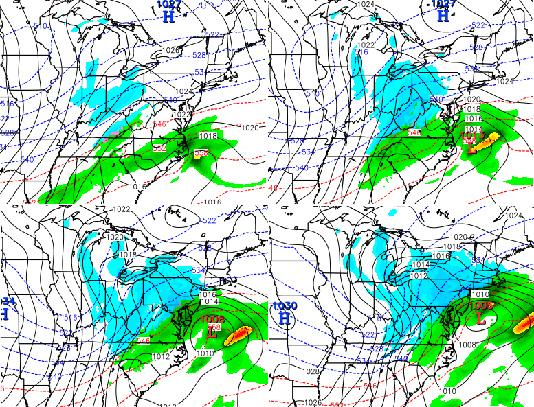
The model then blows that system up into monster for New England. Both GFS models usher in even colder air behind whatever system develops (if any).
They don’t stop there. The new GFS brings a couple of weaker systems our way from the southwest over the weekend into early next week. The current GFS brings a smaller system on Saturday with a big daddy behind it…
That is also one impressive cold air mass behind that system. Let me be clear… I am not endorsing any of the above model solutions. This is a weather blog and I’m sharing the things I look at for discussion.
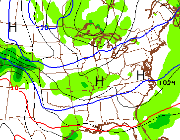
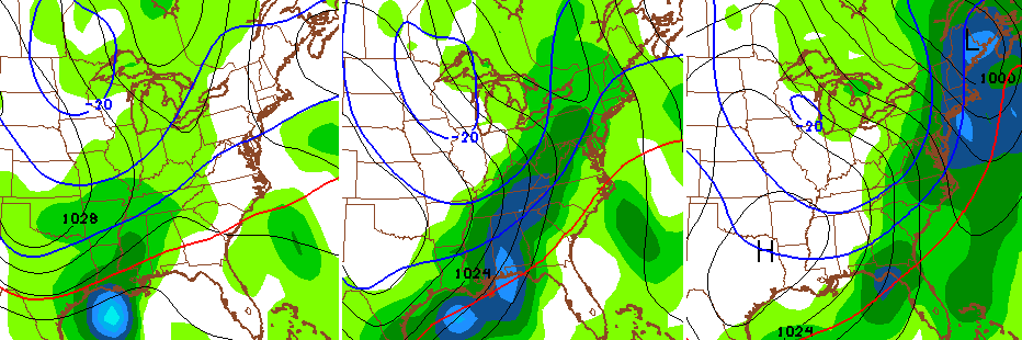
Let me also be clear about something else… some extreme weather across the country can come from a pattern like we are going into.
Here’s another FUN map to look at. It’s the 10 day snowfall forecast from the new GFS model…
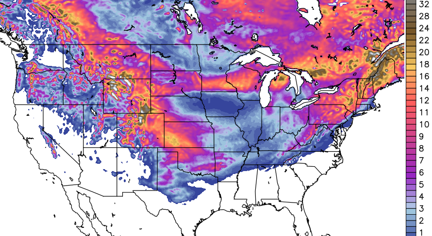
That falls into the “for fun” category, but its still super impressive to see in November. As you can see, several models are very gung-ho on snow. The cold is a certainty… the snow is not, but we will likely have several chances over the next few weeks.
Lots of updates will be coming your way this weekend, so check back. Make it a super Saturday and take care.

This is some cool stuff for sure. Really felt and looked like Winter last night. We really enjoy the pics people are tweeting-moon and sunsets etc. Thanks y’all!
Wow. Through one week November is already running 4.9 degrees below normal with an average temperature of 46.1 The “normal” high/low for Lexington today is 59/40. Looks like that departure will be even further than normal by the end of next week. The coldest November ever averaged 36.7 degrees way back in 1872.
Was the “new” GFS created by people who already championed it, or by people who wanted to fix it, or is it entirely new? I guess the former model will end up living like Old Gregg.
First scenario = unadmitted biases made stronger, perceived strengths increased
Second scenario = perceived biases minimized, unadmitted strengths diminished
Third scenario = entirely new team, new biases and strengths to be discovered going forward.
Thanks Chris. While I am a fan of snow (or snow chances) this pattern reminds me of 76-77. Was a newlywed and our first snow was Thanksgiving weekend. That opened the floodgates and we got hammered for the next two months. Wouldn’t mind to see some of that but not sure about this early. Whatever happens I know you will keep us up to date! And I too am loving all the beautiful pictures everyone is sharing. Have a great Saturday everyone. I gotta go to work. ( thanks Jay Bilas for that one.)
http://www.tropicaltidbits.com/analysis/models/gfsp/
Here’s a link to the para if you want to check it out..I think dec 9th is when it goes into full effect..
Thanks, Coffeelady. Have been trying to remember if that ’76 Nov. snow was before or after Thanksgiving. And, yes, from that time on we had snow on top of bitter cold. I do remember another Thanksgiving in 1959 ( i think) that brought us some ice early that morning. From that time on though, I don’t remember how the rest of the winter was, but back then, most winters seemed pretty cold and snowy.
Too cold, too soon…
That is not a snowfall map. That is a get your ice age on map. This is only November lol.