Good FRIDAY everyone! We have made it through a shortened work week and are now ready to jump into another weekend. It is a 3 day weekend for your friendly weather dude so I am pumped about that. See… there are some perks for working a holiday! ![]()
More importantly, we are breaking this daily pattern of rain and thunderstorms that we have been in this week. The bad news is that we are still going to be on storm watch this weekend… it will just be in a different pattern.
Showers and storms will wind down early today across parts of eastern Kentucky as drier air begins to work in from the west and northwest. You can track the rains outta here on radar…
Temps later this afternoon will warm into the upper 70s to near 80 with a mix of sun and clouds. Winds will be fairly breezy out there as well. Overall… not a bad afternoon and evening!
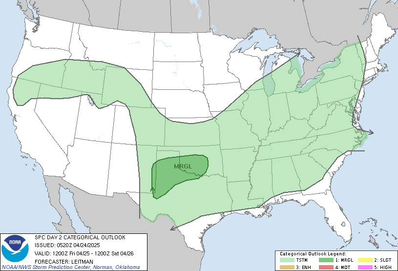
By Saturday… we will have to be on guard for a possible severe weather outbreak across the state. Thunderstorms will likely develop along a weak front drifting in from the north and northwest. This will allow for a northwesterly flow severe weather event to unfold as storms develop across Indiana and Illinois and work southeastward into the region. The Storm Prediction Center has much of the state under a slight risk already for Saturday…
This has damaging winds written all over it for the main threat with hail not far behind. The blog will likely be busy this weekend so make sure you check back with us.
Looking down the road…
1. Sunday will see only a very small chance for a shower with highs in the 70s
2. Warm surge kicks in Monday into Tuesday with mid and upper 80s possible.
3. Stormy pattern returns from Tuesday on as the warmth gets smacked back down!
4. I PROMISE to have some Summer ideas online this weekend! ![]()
Have a great Friday and take care.
Select Page
chris, we missed most of the rains this week. We had a few showers, and one t-storm, but that was about it. I am hoping that this does not ean we are heading into a dry pattern here in southern KY.
As far as the weekend goes, are the chances on Sunday very slight, or more of a good probibility? Need to go to Knoxville and pick up a bed frame and headboard, and I woud like to get it back here dry! Or do we need to plan on taking something to keep it dry?
Have a GREAT three day weekend. Mine is only a 1 day weekend, as I hae to do the Saturday shift tomorrow at work. 🙁
It is only for three hours or so, but it really digs into Saturday plans when you don’t get off until noon!
Cloudy skies and 64 degrees here this morning. Very little rain overnight. Still no heatpump installed, so I do NOT look forward to the early week heat next week!
The heat next week should be short lived. We’ve had over a foot of rain since April 1 here..and with the ground that wet 90s are hard to come by.
We got some showers here the last few days, but it wasn’t much compared to other areas. Enough to keep the ground moist. Sure is beautiful out today. Wish I wasn’t in the office! I’m glad the heat won’t last long next week. Upper 80’s is too hot for me!
12z models increasing rain chances on saturday.
Wheres the sun, its so gloomy. I need to see some sunshine
spc
AN UPPER-LEVEL TROUGH OVER THE CNTRL APPALACHIAN MTNS WILL REMAIN IN
PLACE TONIGHT AND SATURDAY AS A 60 TO 75 KT MID-LEVEL JET MOVES SEWD
INTO THE BASE OF THE TROUGH. AT THE SFC…A FRONTAL BOUNDARY SHOULD
BE LOCATED FROM NRN MO ESEWD ACROSS SRN IL INTO CNTRL KY SATURDAY.
GFS/NAM/NAMKF AND SREF MODEL FORECASTS ARE IN FAIRLY GOOD AGREEMENT
LATE SATURDAY MORNING WITH A CLUSTER OF THUNDERSTORMS LOCATED ACROSS
IL…SRN IND AND WRN KY IN THE RIGHT REAR QUADRANT OF THE MID-LEVEL
JET. CONVECTION WITH THIS FEATURE OR NEW STORMS THAT DEVELOP SOUTH
OF THE CLUSTER SHOULD MOVE SEWD ALONG THE BOUNDARY ACROSS CNTRL KY
DURING THE AFTERNOON. A CONSENSUS OF FORECAST SOUNDINGS IN CNTRL KY
AT 21Z SATURDAY SHOW MODERATE INSTABILITY WITH 40 TO 50 KT OF
VERTICAL SHEAR SUGGESTING THE ENVIRONMENT WILL BE FAVORABLE FOR A
SEVERE THREAT WITH THE CONVECTIVE CLUSTER. AT THIS TIME…CONVECTIVE
MODE REMAINS QUESTIONABLE. IF ISOLATED SUPERCELLS CAN
ORGANIZE…THEN LARGE HAIL AND A FEW TORNADOES WILL BE POSSIBLE. IF
LINE-SEGMENTS ARE FAVORED…THEN THE PREDOMINANT THREAT COULD BE
WIND DAMAGE. ANOTHER UNCERTAINTY IS THE TIMING OF THE CONVECTIVE
SYSTEM. IF THE TIMING IS LATER IN THE AFTERNOON WHEN INSTABILITY
Okay, we’ve had the sun, now let’s get back to those lovely cool showers. I think I feel about rain the way some of you feel about snow. It’s been sunny here, Scott Co., today, and it’s been coolish.
Mitch
In the thirteen years I’ve lived in Lexington and the storms I’ve witnessed here, the strongest ones seem to always come from the northwest and sag southeast.
yup, most thunderstorm complexs with severe winds come from the nw.