Good Monday, everyone. The push of milder air we’ve been talking about arrives this week, but isn’t likely to stick around very long. Another front moves in by Friday with colder air to follow for the upcoming weekend.
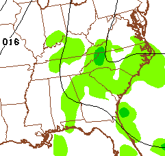
We continue to watch a southern system brushing eastern and southeastern Kentucky with some showers today. For the rest of the state, low clouds and fog will try to give way to some sun late with temps in the 60s.
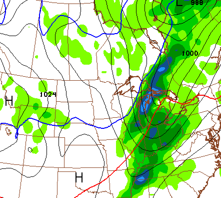
Election Day will see temps in the 70-75 degree range for many with some lingering clouds as low level moisture hangs tough. If anything, that juice increase for Wednesday and Thursday. A fair amount of clouds will be noted with the potential for a shower or two. The NAM for Wednesday afternoon…
 A similar setup will be noted for Thursday. Areas getting in on some showers may have a hard time breaking 70. Those with more sun will hit the 70-75 degree range again.
For those weather folks who lack any true weather perspective… 70 in November is not uncommon. Take Lexington for instance, out of the last 50 Novembers, 40 of them recorded a temp of 70 or higher. You know what that means for the following winters? Absolutely nothing! There is zero correlation. Man, I gotta stop reading all the retweets from other weather people on my twitter feed. 🙂
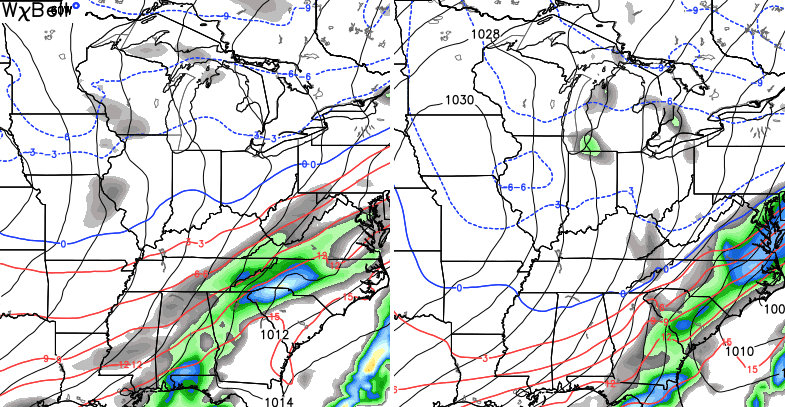
A cold front moves in later Friday with an gusty band of showers and possible thunderstorms…
That knocks temps down by some 20 degrees as it moves through. The bigger push of seasonally cold air comes about a day later behind another system developing and swinging through to our south and east…
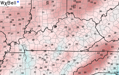
Lows by Sunday and Monday should find their way into the 20s…
That moves out with temps rebounding into the first half of next week. Remember me talking about a yo-yo pattern setting up? Well… here she comes!
That should get knocked down by the end of week with another system working through the region. It’s a developing trough that may sweep in behind that one that has some potential for the middle of the month.
The weather is zipping across the country in this type of a pattern, That means a lot of back and forth with the overall temps skewing warmer than normal through the middle of the month. After that, things slow down with a colder and active look.
I leave you with your daily dose of radars…

I will update things later today. Take care.

Thanks CB! Have a great day buddy.
Ive seen so many weather people claim we are gonna have a brutal cold snowy winter, some claim a mild or even warm winter. wsaz weather man JF says a mild/warmer winter. does anyone really know? as for me, I trust CB.
SE KY is back in that starve-me pattern again. Last week, most of the rain missed to the North and West. This week, all of the rain is staying South and East. The couple of weeks before that were completely dry. Oh well, it seems to always be feast or famine, at least this year anyways….