Good Sunday to one and all. This weekend has been absolutely fantastic and this nice trend rolls on, but with a twist. Temperatures will be climbing as we keep the nice looking sky. Thermometers turn steamy into next week, but cooler changes threaten to show up in a bigger way starting next weekend.
We know the weather is nice today into Labor Day. Temps climb on a daily basis and should be near 90 by Tuesday. Humidity levels creep up with the threat for scattered showers and thunderstorms increasing by the second half of the week…

From there, many of the medium range models show several deep troughs digging into the region…

These individual systems start to show up next weekend…

A few days later…

And a few days after that…

Each of those shots showing up on the GFS, show much cooler than normal temps.
You’ve heard me say the tropics can really mess up patterns in a big way, and that’s usually the case this time of year. The Canadian Model keeps trying to show one of the troughs catching a tropical system out of the Gulf of Mexico…

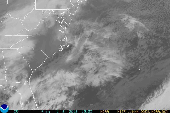
Speaking of tropical systems, Hermine continues to pound away at the Mid Atlantic states and into New England.
You can take the interactive radar into the eye of the storm and check in with live streams from storm chasers…


Have a great day and take care.

Good Sunday,
I am hoping those deep troughs pan out. I really am enjoying these cool temps.