Good Saturday, folks. What a weather weekend we have playing out across the commonwealth of Kentucky with sunny skies and pleasant temperatures. Given our ugly summer, we have certainly paid our dues to get this kind of weather with the holiday weekend.
Highs today will range from the upper 70s to low 80s for many areas. This comes after we start the day in the 50s.
Sunday looks nice with 50s to start and low to mid 80s in the afternoon. Similar conditions can be expected on Labor Day, but throw a few degrees on your back porch thermometer.
That takes us into another steamy setup with scattered storms. That looks to kick in Tuesday through the first half of next week. Highs on any one day can reach 90 degrees. Yawn.
Big changes appear to be lurking for next weekend and beyond. This is when we start to see some deep troughs showing up on the models…


That’s the GFS and shows some VERY early season chilly air moving in here.
The Canadian is also showing a deep trough starting to dig in, but shows it trying to capture a tropical system coming out of the Gulf…

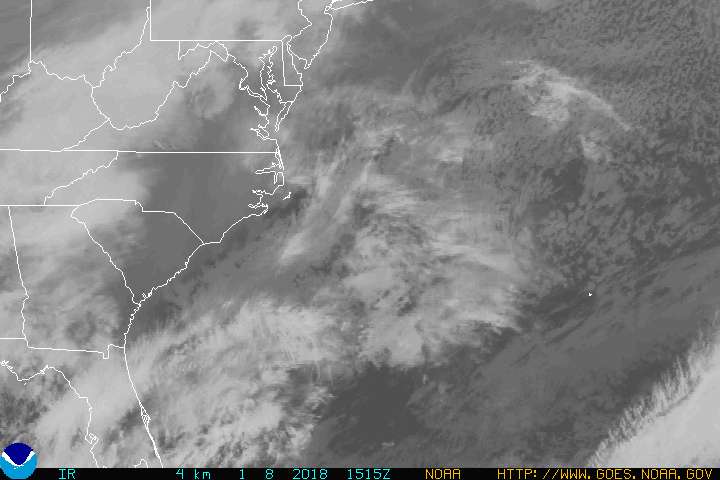
Hermine gets back out over water later today and this should increase off the Mid-Atlantic coast. I would expect this to become a hurricane once again, and this may very well threaten areas all the way into the big cities of the northeast.

You can take the interactive radar into the eye of the storm and check in with live streams from storm chasers…


Have a great day and take care.
