Good Friday, everyone. The weather out there today is about as good as you can ask for as we head into the long Labor Day weekend. It continues to look more and more like the nice stuff hangs around through Labor Day itself. After that, steam and scattered storms start to fight back in.
After starting the day in the 50s, most areas top out in the mid and upper 70s. Skies stay mostly sunny with low humidity levels. This looks like a great evening for high school football fans.
Saturday looks very, very nice. 50s will start the day with upper 70s to low 80s to end it. Some high clouds will be noted and there is a small chance for a shower in the southeastern corner of the state. That would be from Hermine rolling up the east coast.
As I’ve talked about for a while now, this storm is likely to impact areas along the east coast all the way to New England. The concern comes once it gets back offshore over much hotter than normal ocean waters from the Mid Atlantic to New England. There’s the chance this thing really strengthens as that happens.
You can take the interactive radar into the eye of the storm and check in with live streams from storm chasers…
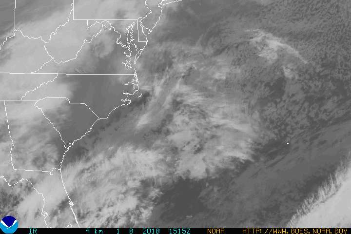

I’m still worried about this storm strengthening again off the Mid Atlantic states by Sunday. The GFS shows this wrapping back up and teasing the northeast into early next week…

For us, that system stays to the east, but can throw some clouds into the east into Saturday.
The call into next week is for temps to steam it back up with the potential for a scattered storm or two developing.
Looking even farther down the road, we will have to see what happens with a potential tropical system developing late next week into the following weekend. If this happens, it would occur when many of the models have been showing a series of deep troughs digging into the country. The GFS has some chill…

Have a happy Friday and take care.

Thanks Chris and Happy Friday everyone! Loving the forecast for the long weekend Chris. But gitta say I’m not ready to let go of Summer just yet. Can’t say I mind lower humidities though. I hope everyone has a wonderful and safe weekend! Go CATS!!!
It’s so weird it always seems like when there is a tropical storm, hurricane, or big tropical system impacting the US, the rest of the country’s weather mostly super quiet and pleasant.
I saw we had the 3rd warmest summer on record in Louisville and 6th warmest in Lexington but no discussion of wettest summer. Wonder where Louisville and Lexington rank with the rain?