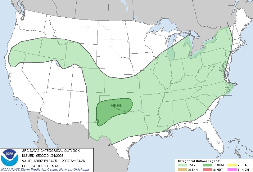
Good Tuesday afternoon everyone. Rounds of severe weather have been focused across parts of southern Kentucky today and that trend is expected to continue into the evening. This is all part of another mega severe weather event from the plains into the Ohio Valley.
This severe weather outbreak started over the weekend and will continue into Wednesday and Thursday. More on that in a bit.
First… A SEVERE THUNDERSTORM WATCH is now out for southern and southeastern Kentucky until 8pm. Here is the watch and the latest warnings…
The entire region is under the risk for severe storms this evening into the overnight. This is going to be an explosive situation across the plains states where there is a HIGH RISK for tornadoes. Check it out…
Today’s Severe Weather Threat
This same storm system will continue to inch closer to us into Wednesday. It is during this time I expect a MAJOR severe weather outbreak for much of Kentucky that is likely to include tornadoes. The SPC already has the western half of the state in a moderate risk…
Severe storms will likely fire back up into Thursday… especially across the east.
This is a time to really keep up to date on the latest forecasts and watches and warnings. The blog will be running in overdrive with updates to help keep you safe.
Back to the severe storm threat of today… Follow the storms here…
I will have updates as needed and will send out quick thoughts and warnings via twitter. Follow me here: Kentuckyweather or follow along in the twitter feed on the right side of the blog
Take care.
Select Page
Watching these live tornados in Oklahoma, completely fascinating..
The thunderstorms are getting tiresome. We’ve had more or less rolling thunder plus rain for two hours straight – including the entire hour I took part in a computer/telephone workshop. Info was too valuable to skip, but if the storms had intensified – and the weather radio told me to, I’d have hung up and went to the basement. Now, still storms in the area and the NWS has issued flash flood warnings to go with the continuing severe thunderstorm warning.
Tornado in Joplin, MO upgraded to EF5 status. Deaths up to 123. So sad, more destruction today. This is far from a typical severe weathet season.
This somewhat resembles the Birmingham situation but the storms that fired in Arkansas really saved us from what I remember. Tomorrow could get very ugly in the Western part of the state but I don’t see the same for the eastern parts of the state.
If it didn’t rain for 3 months in a row…I doubt we’d be in a drought, given all the rain/snow we’ve had the last 8months…… I’m ready for a few weeks of no liquid.
if you knew what mesotrack said u would prob think diff. look up mesotrack kentucky weather network on facebook
No Name, call me. And by the way, the rapture will no happen on October 21.
I love following some folks who provide weather news/info on their Twitter, but I could do without the emotional stuff. Just the facts…
Oh yeah…Joplin is under a Tornado Warning. This is what set me off.
I read mesotrack and as far as I can tell its calling for the severe breakout to be mainly in Western or partially Central KY with it not sustaining itself into EKY…thats what I take from it. Thanks for the info though….I will add them on Facebook.
I really enjoyed your blog. I just bookmarked it. I am a regular visitor of your website I will share It with my friends .Thanks.
I really enjoyed your blog. I just bookmarked it. I am a regular visitor of your website I will share It with my friends .Thanks.
I am glad to find your impressive way of writing the post. Now it become easy for me to understand and implement the concept. Thanks for sharing the post.