Good Tuesday, everyone. We have a round of rain rolling across the region early today, bringing the possibility of high water issues. The setup for Wednesday looks rather ugly as we watch a more potent system bring widespread heavy rain and the potential for strong storms.
Let’s begin with today and roll forward. Rain is with us to start the day and it’s going to be heavy at times. This can lead to local high water issues, especially across southeastern Kentucky. Temps will be much colder today and this may even bring a mix or some light snow to far northern Kentucky this morning.
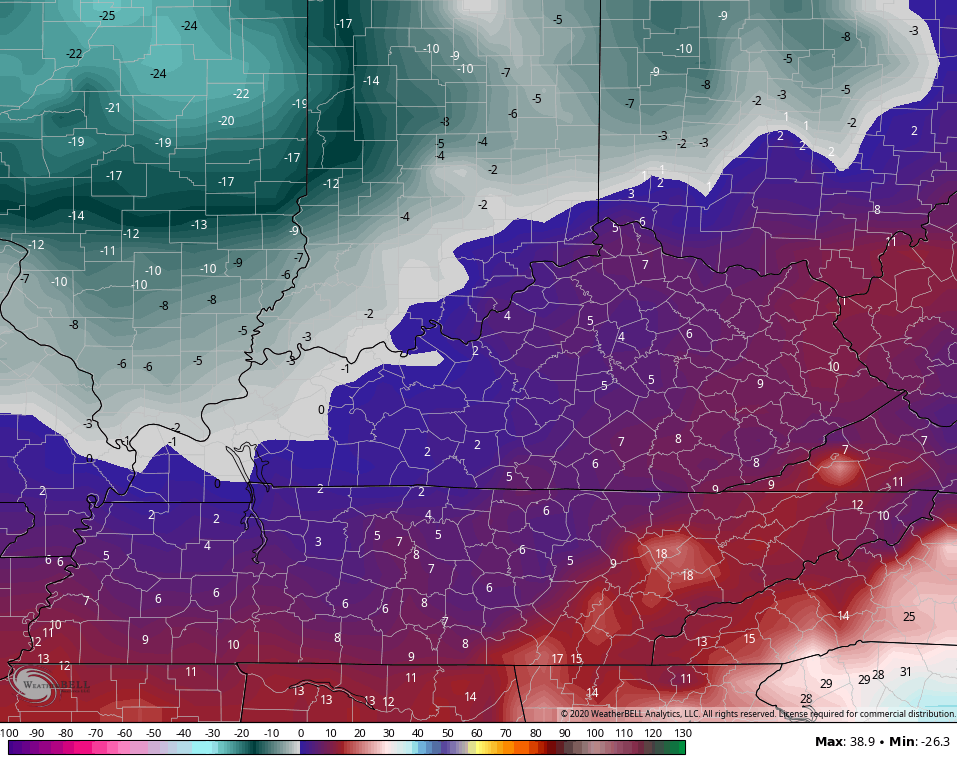
Skies try to dry this afternoon and evening with cloudy skies and a seasonal chill in the air.
Our next system then rolls in here on Wednesday and looks to bring some pretty active weather in here. Heavy rain starts the day as a warm front lifts northward across the state. Winds will be gusty as temps then spike to near 60 by evening in central and eastern Kentucky.
As the low passes by, it drags a cold front across the state and this front will have a potent line of showers and thunderstorms with it. Watch how all this plays out on the Hi Res NAM…
 That setup can lead to another 1″-3″ of rain across much of the state. While the greatest flood threat will be across the recently devastated areas, this setup brings a flood risk to much of the state.
It will also bring the potential for strong to severe storms. The greatest severe threat is across central and eastern Kentucky. Here’s the latest severe weather outlook from the Storm Prediction Center…

The temp trend on Wednesday is pretty awesome to see as the east spikes and the rest stays chilly. Then, a quick shot of arctic air comes in for Thursday and Friday…
 Wind chills by Friday morning are in the singles and may even drop below zero in the west…
 Highs stay in the 20s with a mix of sun and clouds showing up.
I will have updates later today. Until then, here are all the tracking toys you need…


Have a great day and take care.

1.53in so far for the event(South Williamson)
Not sure how much we have received so far in Richmond, but it’s absolutely pouring. The cemetery up the street from me in almost completely under water
Barely topped an inch in Harlan. So far, I have seen about the least in the state and that continues this morning as the bulk of the steady rain is falling all around me but missing here…answered prayers. Tomorrow looks more like a Central , Northeast and West KY event with the least in SE KY, so I think minor flooding only here, if that tomorrow night.
1.4 for me as of right now for this event Terry
1.2 here so far and looks like very little more today; it is good to have an underachiever 🙂
I did reach 7.00 inches for the month though this morning. The chances of reaching at least a foot for the third year straight are very high unless something drastically changes in next week’s forecast.
And the rain train we are riding just rolls on
It is good to see that the much lower numbers on the GFS and EURO are starting to verify. This no longer looks impressive with several inches as shown on some models beginning to fizzle, and I think we get through Wednesday with only some minor flooding as the setup is very progressive, even if some strong t-storms forms. Then we get a brief “cold stop” before we all reboard the RainTrain for what looks to be event trip #3 starting Sunday. Blah.
We just can’t get a break in term of having cold air in place when the moisture comes. Will it break later this month and into March like some have suggested it will only time will tell.
Maybe March will come in like a Lion for West Kentucky and Southwest Indiana, with one of those surprise heavy wet Snowstorms. When I was living in Southwest Indiana we seemed to have a lot of those late Winter Snowstorms, and it wasn’t that cold either at the surface, and the snow accumulated on every object because it fell fast and furious. Most all of those Snowstorms were over a foot, and you could go out and build a great Snowman. lol
1.86 inches of rain fell in my backyard yesterday. Tomorrow, the NWS is predicting maybe our first severe weather event for my county of Taylor. Not looking forward to that weather type. I will be glad when all this flooding is gone, and dried up for those in southeast Kentucky so life can get back to normal for those folks. I hope that heavy rain predicted for Harlan and east Kentucky will be a no show tomorrow. Hopes and prayers extended.
Up to 2.30(South Williamson)
Wind chills in the single digits possible Friday, highs in the 50’s Sunday and Monday. Gotta love Kentucky.
Or the other handful of states (if not more) that have the same weather extremes as Kentucky if not more extreme.