Good evening, peeps. Damp weather continues across the bluegrass state as low pressure number one rolls right on top of us. System number two will then bring about the the chance for winter weather as early as Wednesday evening with another possible system right behind that.
Showers are fairly widespread this evening and will continue through tonight. I can’t rule out a rumble of thunder…

Showers will taper on Tuesday and we could even see a few rays of sun. Temps are generally back into the 50s.
The changes start Wednesday with a cold front working from west to east. This front will bring much colder air in here during the afternoon and evening. As temps fall, rain will change to a period of light snow with a few snow showers showing up on a northwest flow Wednesday night and early Thursday. Behind that comes a couple of clippers from the northwest. The first arrives Thursday night and early Friday with a lighter system behind that early Saturday…
GFS
 EURO
EURO

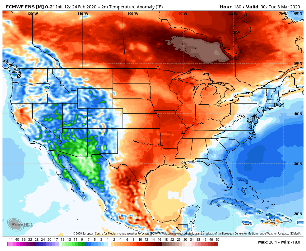
The European Ensembles continue to point toward a milder than normal opening week and change for March…
 Enjoy the rest of your evening and take care.

R.I.P. old man winter.