Good evening, folks. We have rounds of showers and thunderstorms increasing from the west as the first of several systems begins to impact the region. This continues to be a milder than normal an wetter than normal look for the month of March.
Let’s begin with the action pushing in. There’s nothing out of the ordinary with this, but some rumbles of thunder and locally heavy downpours will be possible through Tuesday. Here are your radars…

Winds are very gusty through early Tuesday and could top 40mph at times. Skies become partly cloudy late Tuesday as temps stay fairly mild.
Wednesday will find a scattered shower or thunderstorm lingering.
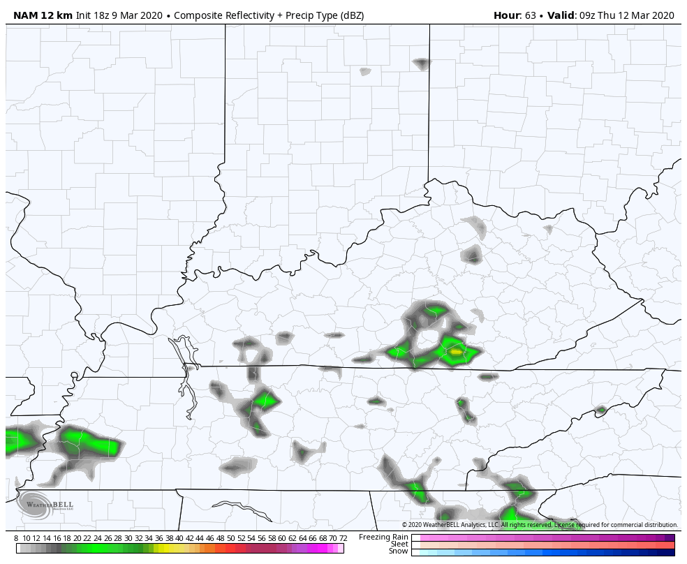
The next system moving in for Thursday has more of potent look to it and may kick off a few strong storms in the process…
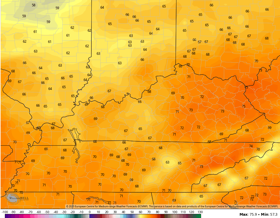
 Before the storms arrive, a strong southwesterly wind may boost temps toward 70…
 After a little break in the action Friday, another rain and thunder maker moves in for Saturday as things trend chillier for the weekend.
This active pattern remains through next week as we go mild again. The Euro Ensembles continue to show much above normal over the next few weeks…
 As I’ve mentioned many times, this is a very stormy setup and severe weather can make an appearance from time to time.
Have a good one and take care.
