Good Saturday, everyone. We have a cool, but very nice weather day taking shape across much of the region, but the pattern is looking active thereafter. That’s the bad news. The good news is that our temps will be much, much warmer into next week.
Temps out there today are into the middle and upper 40s with a mix of sun and clouds. Overall, this is a pretty good looking day!
Clouds will increase Sunday as temps spike toward the low 60s for many. Showers will move in as the day wears on, with the greatest concentration across the southern half of the state. There’s some model disagreement on just how far north the showers can get…
EURO
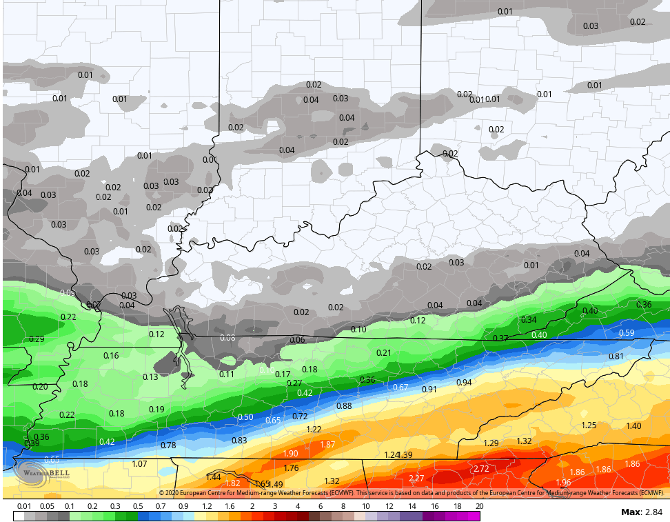
GFS

That will zip through here very quickly Sunday night, leaving us with a fairly nice Monday as temps reach the low 60s.
There could be a front tease the area on Tuesday, but you can see how this mainly stays to our north and northeast…

Temps for the middle and end of next week should be in the 60s and low 70s for highs. We will watch a couple of systems rolling through here with showers and, perhaps, a few strong storms…

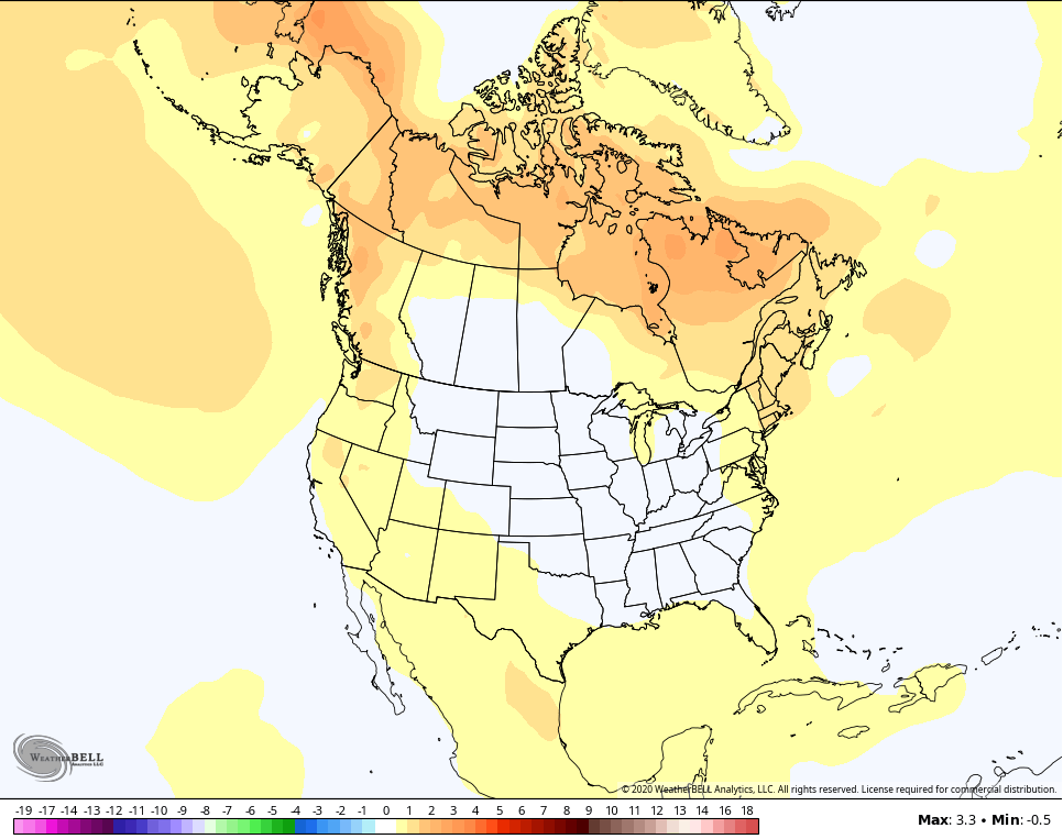
As we look much farther down the weather road, we focus on the upcoming summer. Many of the new seasonal models are now singing a similar tune in terms of the overall summer temps. That tune is for a near normal June through August for our region and much of the country…
EURO SEASONAL

CANADIAN SEASONAL
I’m just now really diving into the potential summer analogs, but that boiling Gulf of Mexico water will likely have something to say about our summer temps. I don’t think this is a truly hot summer, but I think it can be a warm and humid one. I see no real reason to believe it won’t be wetter than normal.
Enjoy your day and take care.

Thanks Chris, At the present I am more concerned about another potential “outbreak” of Tornadoes in areas of the deep south (that were devastated this past Easter Sunday) than how our Summer weather will turn out.
Well this is a Kentucky Weather blog.. not a deep south blog
That’s true.
Thank you Chris. Looks like we may get a breather from cool and rainy, and I’m all for that. We did not see much rain overnight.. hoping the clouds move out before too long. When you talk about a nice day, that to me includes all the sun we can get. Everyone have a great day. And stay safe.
Yeah, I’m ready for a couple of weeks of warm and dry weather with lots of Sunshine too !
We sure don’t need another soggy, boring summer around here, nor do we want a 2007 or 2012 repeat.
Right, we do not want a Summer like 2007 or 2012 or a “soggy” Summer either ! But, it looks like we are on that 2007 track based on the weather we are having this Spring so far.
accuweather keeps saying sun. I disagree. its thick overcast, drizzle and cold. no sun, warmth, or blue sky to be found here in Pikeville. front porch thermometer has hovered at 44 all day. quite depressing indeed!