Good Saturday, everyone. We have much better air across the state today, but we can’t shake the chance for a few storms. As we get into Sunday, another cold front swings in here and brings a renewed threat for strong storms. This actually knocks our temps down even more to start next week, but the heat builds before the week is out.
Let’s begin with today and roll ahead. Humidity levels and temps are down compared to the past several days with most areas in the middle 80s.
There is still the threat for a storm or two going up, but the chances are fairly low across central and eastern Kentucky. The west is closer to the Sunday front, so they have a better risk for some late day storms and a few could be strong. Here’s today’s Severe Weather Outlook from the Storm Prediction Center…

The low-end threat for severe storms then moves east into much of the state for Sunday…

Damaging winds and large hail are the main players. These storms will also have a lot of rain, so local flash flooding issues may develop. I will get to your tracking tools in a bit.
Monday looks awesome with highs 80-85 with low humidity and a mix of sun and clouds. I can’t rule out a morning shower in the east, but the day looks dry.
Temps take off for the middle and end of next week with the west seeing the hottest air. However, the clear trend is now for more thunderstorm action to work across the state through next weekend…
GFS
 CANADIAN
 EURO
EURO
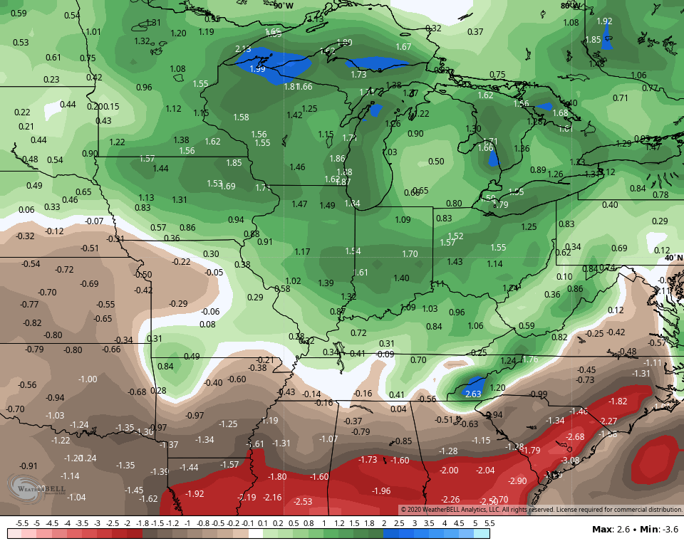
 The GFS Ensembles are now showing above average rainfall over the next few weeks…
Some big time thunderstorms can move around a heat ridge like that, so we will need to be mindful of this going forward. Thunderstorms can knock the numbers down.
I leave you with your Saturday tracking tools for the day…


Have a great Saturday and take care.

Starting today back in 1995 but peaking on July 13 was one of the deadliest heatwaves in more recent US history.
https://en.wikipedia.org/wiki/1995_Chicago_heat_wave
Chicago alone had over 700 fatalities, but other areas including Milwaukee and St Louis also suffered. Unlike many other heatwaves, July 1995 had BOTH extreme air temperatures and extreme dew points. Some places in the Midwest and Great Lakes had heat indices above 130 degrees.
The heat gradually shifted to the Northeast US and even into Canada in the coming days.
Perhaps Illinois Mike and others remember this event only too well?
Mark, I remember that “heat wave” very well as I was in the Nursery/garden center business. Water, water and more water for the plants just to keep them alive. I believe Illinois Mike can tell us more on how “brutal” the heat was in Chicago during that “killer heat wave.”
Thanks Chris, I’m hoping to get this darn outdoor work done today. Hope the showers stay away this afternoon. Surface soil is beginning to dry out a bit and we will need some rain, but not flooding rains and severe weather. On the predicted “heat ridge” forecasters for my area are beginning to “down play” the event, but we shall see. On another tropical topic, Tropical Storm Fay was interesting to tract as it moved up the Eastern Seaboard. I was just wondering if this happened in January the areas to the west of the circulation would have been “buried in snow.” A Nor’easter for sure !
I remember the 1995 event….had to travel to Chicago for work and water was pouring out of the A/C systems all over at Midway Airport. I recall one day it got up to 108 degrees and also remember looking out the office building window and seeing buckled railroad tracks.
I was still a preteen in 1995. Tennessee was probably hot, but I don’t recall the state being overly affected. Likely too “busy” swimming, doing indoor video games and such anyway. But I do well remember a pic of a (likely Chicago but maybe Milwaukee or elsewhere) first responder suffering in the heat with his arm over his head.
I didn’t start using Midway Airport until relatively recently. But I understand the terminal in 1995 was old and only later refurbished/replaced; no big surprise if the old AC system was not designed for such extreme humidity. A few years later I changed planes at Detroit’s then-old terminal during a heatwave and the AC was only barely able to handle the conditions.
Thanks to TennMark for including the Wikipedia link about the deadly Chicago heat wave from 1995, which started around this date.
The National Weather Service Chicago website will no doubt include more links about that heat wave in the coming days, and I will include those links on here.
Even though it was just 25 years ago, in those days, there were no such things as Heat Advisories or Excessive Heat Watches or Warnings like there are today. If there had been, many of those 700+ deaths might have been avoided. Cooling centers would have opened up around the city, like they do in the present when a significant heat wave develops in the area.
The Wikipedia link shows the daily highs and lows that were recorded at Midway Airport during that heat wave. O’Hare Airport was, and still is, the official climate data observation site for Chicago. O’Hare’s hottest temp during that heat wave was 104 degrees, a few degrees cooler than the 106 degrees recorded at Midway, which is closer to the urban heat island of Chicago.
Another joke of a forecast. Strong storms predicted today, especially between 2:00 to 5:00. So far, not a drop all day, skys are bright blue, with no clouds, and the radar shows absolutely zero precipitation in the entire state. Once Again, you couldn’t have missed any worse.
I don’t make the forecast you get from the app on your phone. Some parts of the state have picked up 4″ of rain today and we had several warnings last night into this morning. More storms are going up, right now.
If you cannot comprehend what a forecast means or where it comes from, perhaps you need to enhance your learning ability.