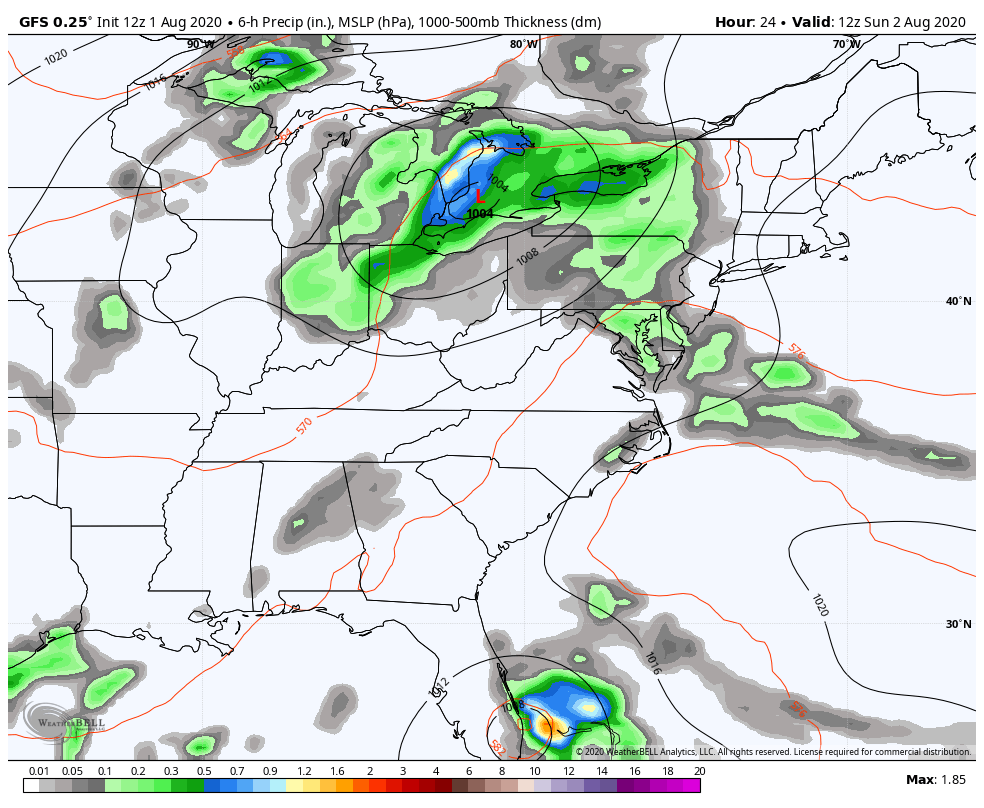
Good afternoon, everyone. Spiraling bands of showers and storms continue to show up around an area of low pressure working into the western Ohio Valley. Some of these storms may be strong or severe across the eastern part of the state. At the same time, Hurricane Isaias is threatening Florida before heading toward the Carolina’s.
Let’s start here on the home front and talk about the threat for severe storms. The greatest risk is across central and, especially, eastern Kentucky. This is where the best instability is and we could see storms ramp enough to cause damaging winds. There’s even a small tornado risk.
Here’s the current Severe Weather Outlook from the Storm Prediction Center…

Heavy rains may also cause local flash flooding issues to develop.
Hurricane Isaias is likely to deliver a decent blow along the east coast of Florida, but the impact may wind up being greater in the Carolina’s. The National Hurricane Center Forecast…

If the center of this storm stays off the coast of Florida or just grazes the coast, this is likely to still be a hurricane by the time it works toward North and South Carolina. The waters ahead of this storm are very warm, so don’t be surprised to see the NHC forecast change to keep this a hurricane into the Carolina’s.
The latest Hurricane Models…

You can see how they just graze Florida and target the areas from Charleston SC to Wilmington NC for a bigger hit. As of now, I like that idea with this still being a hurricane. That storm weakens once inland, but remains a Tropical Storm all the way into near New York City. That would make the second Tropical Storm to hit the NYC area already this summer. Wow. This historic tropical season rolls on and we aren’t even close to the peak! Are we heading toward only the second season ever with the Greek Alphabet?
Isaias will not directly impact the weather around here, but it will force a couple of systems to drop in here behind it starting Monday, with another later in the week…
 Temps here are well below normal for early August and a couple of mornings may drop into the upper 50s.
Also, check out the little spin in the Atlantic behind the departing Isias on that animation. That could be another tropical storm that stays out in the ocean.
How’s that for a Saturday afternoon update? 🙂
Your tracking tools include our exclusive interactive radar that includes live storm chaser cams. You will likely find several of them in the path of our Hurricane. Here are your toys…


Current watches

Possible Watch Areas

Enjoy the rest of the day and take care.
