Good afternoon, everyone. Torrential rain producing showers and thunderstorms continue to push across the state. For this reason, a Flash Flood Watch is out for many into tonight. That may get extended into Saturday across the eastern half of the state.
Here’s a look at the current watch…
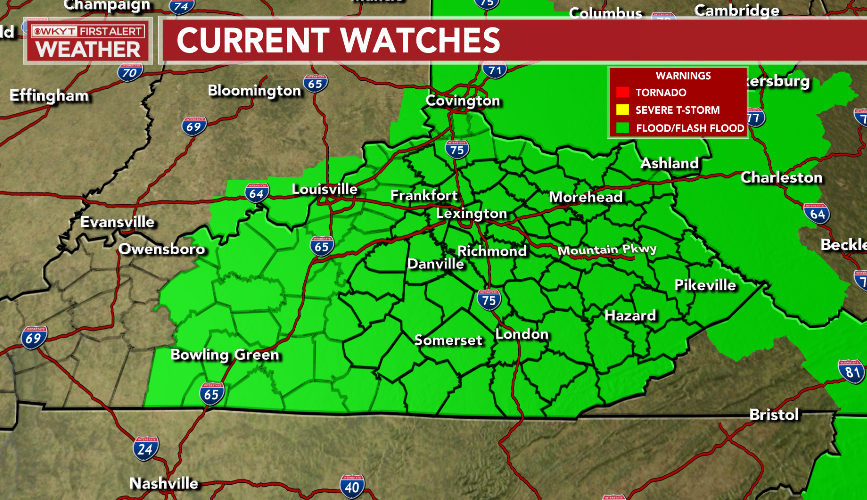
I’ve been warning you for days this was a tropical rain producing setup that could cause issues and Mother Nature is delivering the goods. Some areas can pick up 1″-3″ of rain in a short time period and there’s the chance for locally higher amounts. The potential is there for a local severe flash flood somewhere across the area.
The same goes for our neighbors in West Virginia and Virginia.
Here are your radars to follow along…

A cold front moves in behind this late Sunday and brings a broken line of showers and storms. Much cooler air then follows for next week, but I don’t think we can shake the chance for a few showers and storms.
I will get into all that later tonight. Have a good one and take care.

Thanks Chris, Not official yet ,but we had around 3.0 inches of rain in my little corner of Taylor County and I believe we have more on the way this evening,
The most rain I’ve seen in August since the year 1979.
Have a great evening.