Good Friday, everyone. There’s a chill in the air that many across the Commonwealth have been waiting on for a long time. It’s the chill of an early fall taking hold of our weather through the weekend and into much of next week. The coldest numbers since early May are showing up across the region during this time as we string together several consecutive mornings in the 40s. Bring. It. On.
Our fall front is plowing to the south of the state today, but a band of low clouds is showing up behind it. This will be slow to clear the state from northwest to southeast and that’s going to play a big role on temps. Areas under the clouds this afternoon may not get out of the 50s for highs. For those seeing some sunshine, we will see temps in the pleasant 60s.
Winds will be gusty and that continues into the weekend as the chill settles in. Lows by Saturday morning will drop into the 40-45 degree range for many…
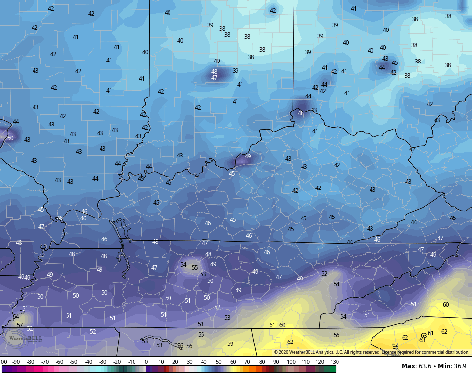
Throw in a bit of a wind and you get a wind chill in the 30s for some…
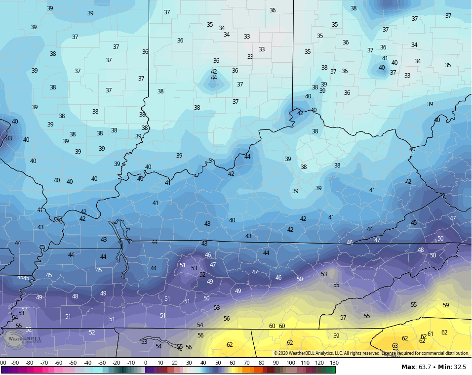
Highs Saturday will be back into the 60s for many with a gorgeous fall sky. Lows by Sunday morning may even be a bit chillier than Saturday morning…
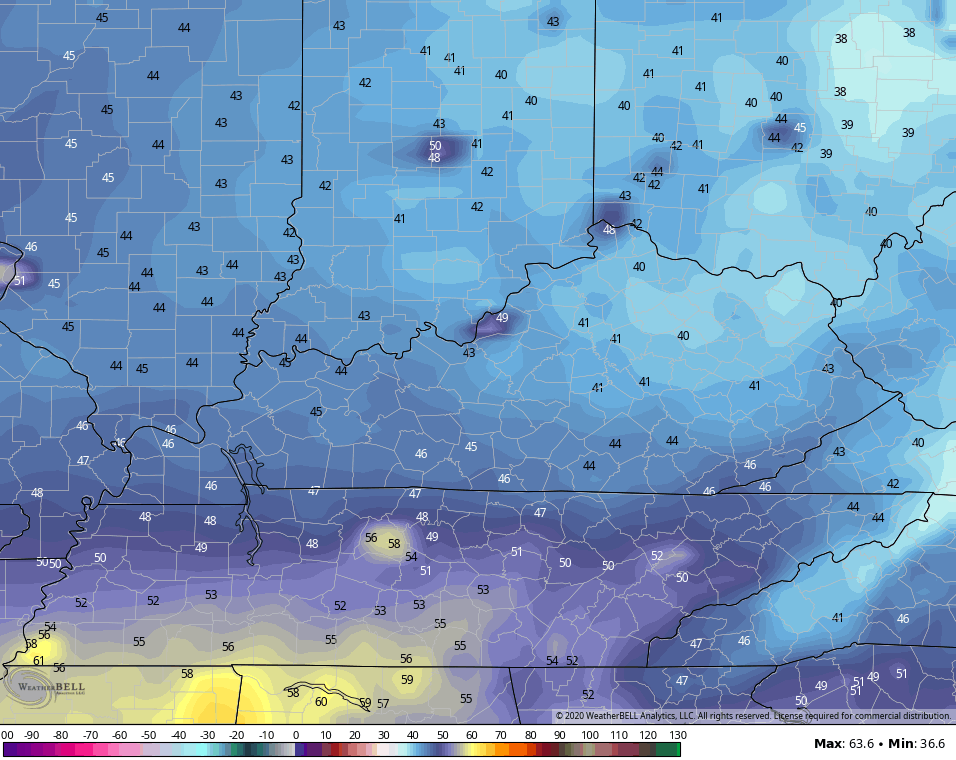
We should be able to keep lows in the 40s into the middle of next week with highs in the 70-75 degree range.
Once into the middle of next week, the tropics will dictate what happens from there. Hurricane Teddy is a powerhouse out in the Atlantic and has a chance to threaten New England by that time. Wilfred in the making is down in the Gulf of Mexico and should be a super-duper slow-mover…

Here’s the 5 day forecast for Wilfred…

What eventually happens with this storm can alter the overall pattern across the country late next week. We will just have to wait and see how that system plays out.
Another update comes your way later today, so check back. I leave you with an appropriate song title for the day. Here’s Mr. George Straight…
Have a good one and take care.

Thanks Chris, these beautiful Fall like temperatures I will not be able to get outside and enjoy as I am down in my back and will have to stay inside today watching TV. Bummer ! Hopefully tomorrow and Sunday I can get back outside.
Tropical depression twenty two/ Wilfred will probably copy Sally but this time over the western Gulf. Hurricane Teddy is a cat. 4 in the central Atlantic and at this time path is uncertain as it moves northwest towards Bermuda ?