Good afternoon, everyone. Rounds of heavy rain continue to roll in from south to north, bringing the potential for flash flooding through Thursday. Some of this moisture is coming from Hurricane Zeta near Louisiana, with the rest coming from a system moving in from the southwest.
Overall, my thoughts on the forecast are unchanged. Here’s a breakdown:
- A general 1″-3″ of rain will set up across the entire state through Thursday night. A few corridors will see locally higher amounts, but trying to pinpoint those is asking for trouble.
- Flash Flood Watches are out for some areas, but not all as of this writing. Given the setup, just blanket the region and be done with it. You’re not issuing warnings… This is a a watch.
- Given the time of year it is, a lot of leaves are down and may clog a few storm drains. That could lead to additional ponding of water on streets or increase the chance for street flooding.
- Winds will also increase and may reach 30mph at times.
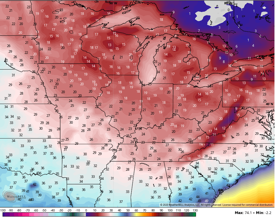
- Temps crash down behind the departing storm late Thursday with a chilly Friday taking shape.
The WPC continues to show potential for excessive rains in our region during this time.
Through tonight…

Thursday-Thursday Night…

Here are your radars to track the increase in heavy rain…
…

As mentioned, Hurricane Zeta is coming ashore in Louisiana and may still be a tropical storm as it gets as close as east Tennessee…

Halloween continues to look great with frost to start and highs in the upper 50s to low 60s.
Another powerful cold front sweeps in on Sunday, bringing very cold air into early next week. Can this spit out the first flakes of the season in the northern and eastern parts of the state? It’s a small possibility…

Temps crash from northwest to southeast Sunday afternoon and evening and wind up deep in the 20s for Monday morning. Wind chills may reach the upper teens…
That will be followed up by highs in the 40-45 degree range on Monday with the 20s showing back up Election morning. Milder air then floods the region later next week.
I drop by for another update if needed later today. If not, I’ll be doing my thing on WKYT-TV all evening, so tune in.
Enjoy the rest of the day and take care.
