Good Tuesday, folks. It’s Election Day and we are all a winner when it comes to the weather out there today and for the next several days. Blue skies and very pleasant temps will be noted today and the air just gets milder from here. As all this is happening, the tropics and winter are ready to do another tango. How they decide to dance will ultimately decide when the colder air crashes back in here next week.
Temps starting this election day are into the upper 20s and low 30s, but as the returns continue to filter in, the numbers rise into the 50s for most.
The forecast for the rest of the week and into the upcoming weekend is pretty straightforward and pretty darn nice. Highs reach deep into the 60s with a few days touching 70 degrees. We keep our dry sky and this is going to make for some FANTASTIC weather. Woot!
The pattern from here will be largely dictated by two things… The tropics and a blast of winter in the west.
Let’s start with the tropics and ETA. This powerful storm is slowly rolling into Central America and then should slow down. Here’s the latest from the National Hurricane Center…

This storm is one of the strongest on record for the month of November. Wow!
This will meander inland then emerge back over water. From there, things get murky. What’s left of this may intensify as it slowly lifts to the north. It may very well impact the United States next week, but how it does so remains to be seen.
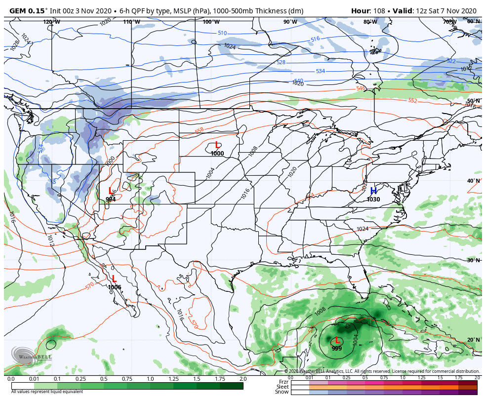
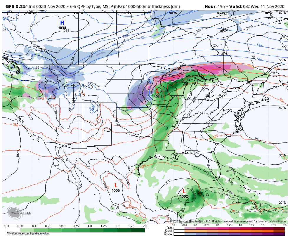
Complicating the issue is another blast of winter out west that tries to roll east. All of this is giving the models fits in trying to figure out how it all works out.
Canadian
GFS
I will have another update later today so check back. Have a terrific Tuesday and take care.

Wow, Hurricane Eta is close to being a CAT 5. But looked like an eye replacement cycle was happening, and maybe land and terrain will prevent any more strengthening. However, not much difference between a high level CAT 4 and low tier CAT 5. Praying for the people of Nicaragua and Central America.
Working my job from home today, along with being househusband and father. Everybody have a great election day and enjoy the sunny weather.