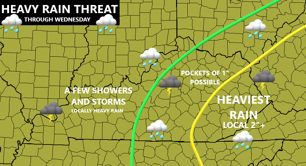
Good afternoon, folks. It’s another record setting warm day out there as we get ready to put an end to one of the warmest periods you will ever see in the month of November. The end comes tonight as a strong cold front works through the state with heavy rain, showers and storms, gusty winds and a big drop in temps.
Scattered showers and storms will begin to go up ahead of our front this afternoon and evening. Once the front swings in tonight, it will have a line of showers and storms along and ahead of it. As this enters eastern Kentucky, it slows down on Wednesday and that can bring enough rain there to cause local high water issues.
Here’s a quick overview of how this may play out through tomorrow…
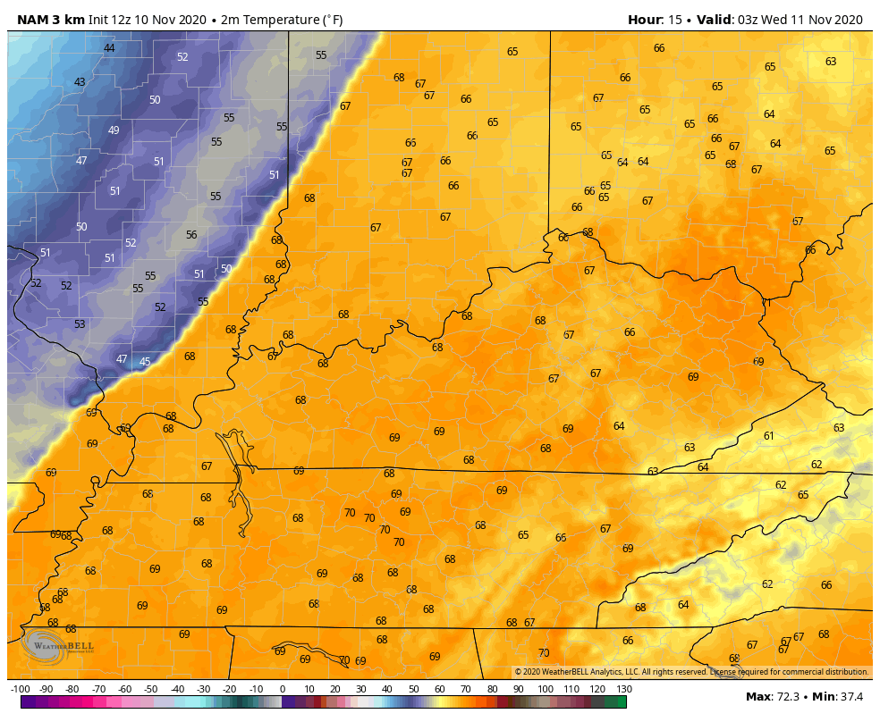
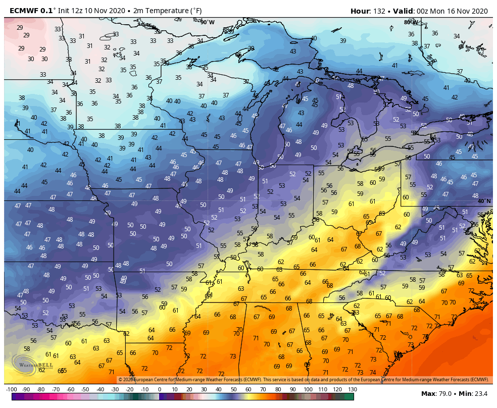
Much colder air then surges in behind the front. Check out the temps from late this evening through Thursday morning…
Here are your radars to track an increase in the stormy weather…

Seasonal temps then carry us through Friday.
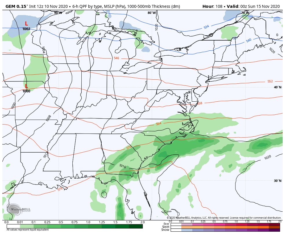
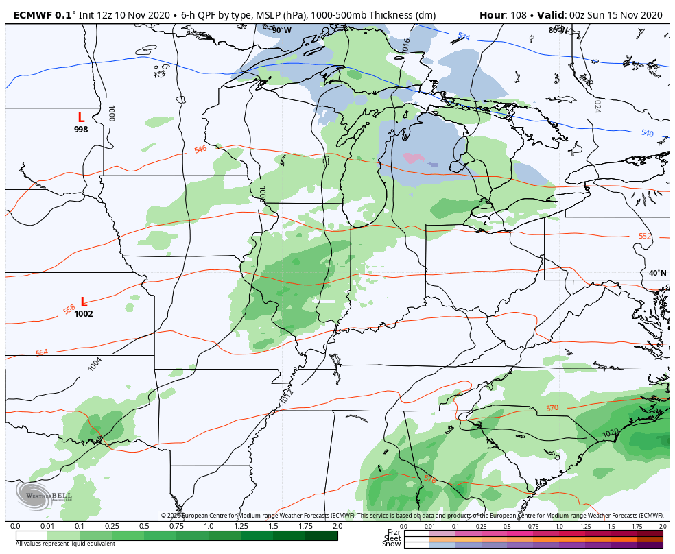
ETA is trying to make a comeback in the eastern Gulf of Mexico…

The National Hurricane Center’s forecast for ETA continues to go farther west…

ETA looks to get pulled apart with some energy heading into Florida and a ghost of a storm meandering across the northern Gulf. How much interaction, if any can we get with our next storm system working in here over the weekend? That remains to be seen, but this system continues to trend colder and colder behind it into early next week…
CANADIAN
EURO
I still think there’s room for this trough to deepen a little more and the models are certainly trending that way with each passing day. This will take our temps solidly below normal for, at least, a few days.
BTW, I’m watching Thanksgiving week as some signals are piquing my interest. 🙂
Enjoy the rest of your day and take care.

We have a dangerous weather situation developing here in IL, as a Tornado Watch is in effect until 8 PM for much of NW, Northern, and NE IL, including the Chicago Metro Area. Severe Thunderstorm Warnings have just been issued for a cluster of counties in Northern IL (just to the west of the Chicago area) for a line of severe thunderstorms moving to the NE at 65 MPH. The NWS is warning of wind gusts over 70 MPH with this line!
This is our first organized severe weather event here since that derecho which produced over a dozen tornadoes and widespread damage exactly three months ago today, on August 10th.
The radar certainly looks ominous enough with that long line of dark red racing towards the area.
Severe Thunderstorm Warnings continue to be issued as the dangerous line of storms continues to race east at over 60 MPH toward the Chicago area. The first Tornado Warning from this line was just issued for LaSalle County in North-Central IL for a severe t-storm capable of producing a tornado.
In the SW suburbs of Chicago where I am, this line should arrive here within an hour. I’ll update as needed, hope the power stays on!
There are several Severe Thunderstorm Warnings for the entire Chicago Metro Area for the next hour and 15 minutes as the storms rapidly approach. There have been numerous reports of trees and power lines being blown down with winds gusting between 70-80 MPH!
There are no active Tornado Warnings, as the one that was issued earlier for a portion of LaSalle County has expired.
The weakening line of storms have moved into NW Indiana, and all warnings have expired.
Here in Plainfield in the SW suburbs of Chicago, the storms came through around 5:15 local time with torrential rains, wind gusts of between 50-60 MPH, and cloud-to-cloud lightning. Just a little light rain is occurring now and should end shortly.
O’Hare Airport reported a wind gust of 64 MPH, and Midway Airport reported a gust of 63 MPH. The heaviest damage seems to have occurred to the west of Chicago, near the DeKalb and Rockford areas, where numerous large trees and power poles were downed. There have been no confirmed tornado reports yet, just straight-line wind damage from the line of storms as they moved through.
At least the power stayed on in my area. During the strong derecho event of three months ago, my power was out for 32 1/2 hours.
Temps have dropped down to the 50s, as overnight lows are expected to drop to near 32. That’s quite a change from our historic stretch of November warmth in the last week.
Glad to hear you’re OK and retained power, Mike!