Good afternoon, everyone. Heavy rain continues to fall across the southeast as a cold front works through the state. This front is bringing a much more normal brand of November temps to the Commonwealth over the next several days. Another system coming later this weekend will take our temps below normal into the first half of next week.
Many areas of the southeast have already picked up more than 1″ of rain and another 1″ or so will be possible. This may cause local high water issues across the far southeast. Here are your radars for the rest of the day…

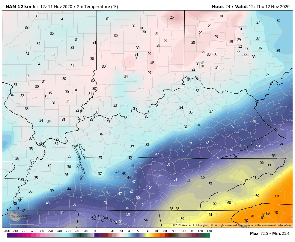
Temps continue to drop into the 50s behind the front and will stay there for the rest of the day. From here, temps are back to around the normal mark into the start of the weekend. Here’s the temp forecast from the NAM starting at 7am Thursday and ending Saturday at 7pm…
ETA spiked back up to a hurricane earlier today and is forecast to make landfall late tonight or early Thursday just north of Tampa.

Here’s the latest from the National Hurricane Center…

As that gets out of the way, here comes a colder pattern taking shape as we roll into next week into Thanksgiving week. The trend of the models continues to point in this direction and that’s something we talked about for a while now.
The first cold front arrives on Sunday with gusty showers increasing out ahead of this. Some of those showers show up as early Saturday. Behind the front comes a big blast of very cold air with flakes flying not to far away from us…
CANADIAN
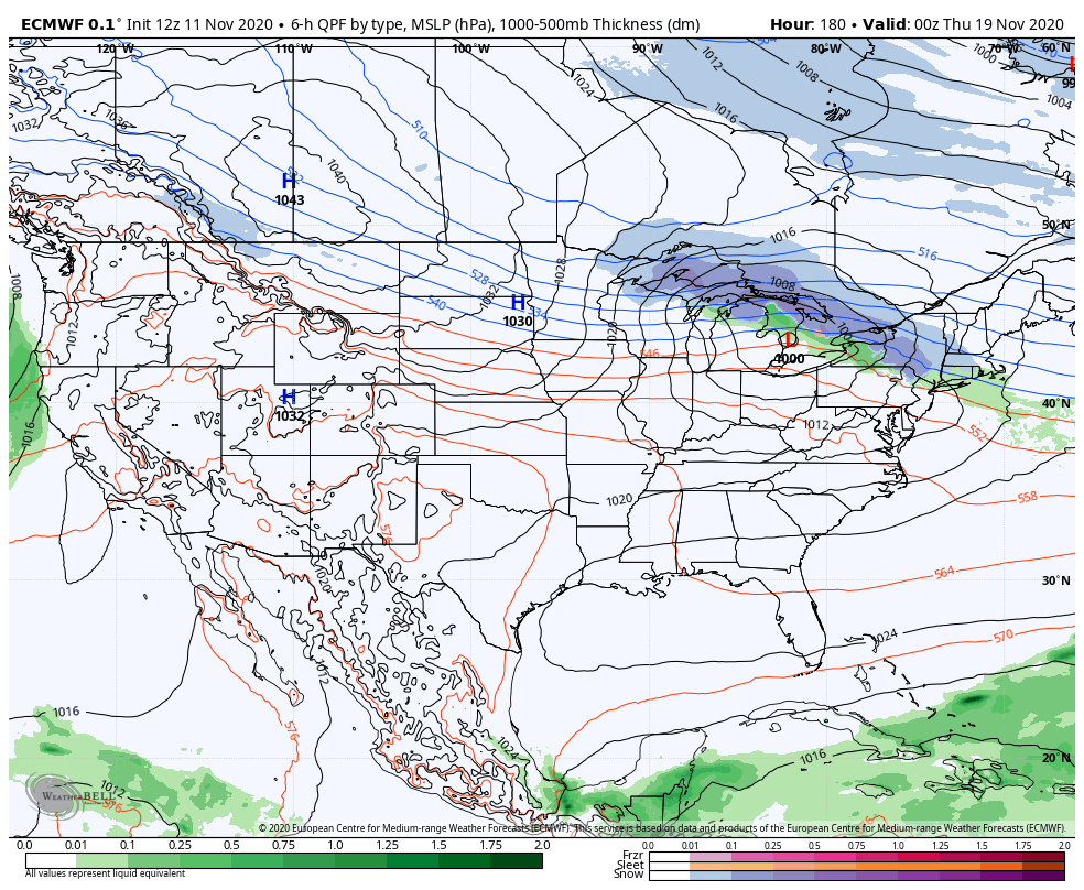
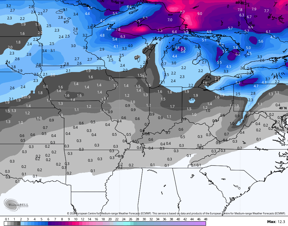
EURO
Notice how the EURO is trending colder later next week into the following weekend…
I’m still watching the setup as we roll into into Thanksgiving week as I think it has a shot at some winter weather across the eastern half of the country. The EURO Ensembles go through Thanksgiving Day and are, at least, seeing the chance…
Enjoy the rest of your day and take care.
