Good Tuesday, everybody. Colder winds are blowing across the Commonwealth and this is a trend through Wednesday. Beyond that, the numbers take off as we have a gorgeous stretch of weather on tap late week into the weekend. Thanksgiving week is a different story with several storm systems likely to impact our weather.
Let’s start with today and roll forward. That colder northwest wind is kicking up and will spawn a few clouds across central and eastern Kentucky early on. There’s even the chance for a very light rain or snow shower across the east and southeast. Here’s regional radar…

Temps today are generally in the 40s for highs, but that same wind will give us a wind chill in the 30s for most of the day.
Wednesday starts in the 20s and ends in the 40s across the central and east. Western Kentucky will see the numbers spiking into the 50s and that’s a sign of milder days ahead. Temps hit 60 or better for most of the region from Thursday through the weekend. Skies look really, really good during this time, so soak it up.
As mentioned, Thanksgiving week is likely to be a busy one with a couple or three storm systems likely to impact our region. The first system is likely to rumble in here Sunday night and Monday, but the exact details are still to be determined. The models have been going back and forth on the evolution of the entire pattern for next week and that’s to be expected from this far out.
When I show you a specific model run, you have to understand that’s just a snapshot in time of what the model thinks will happen at that moment.
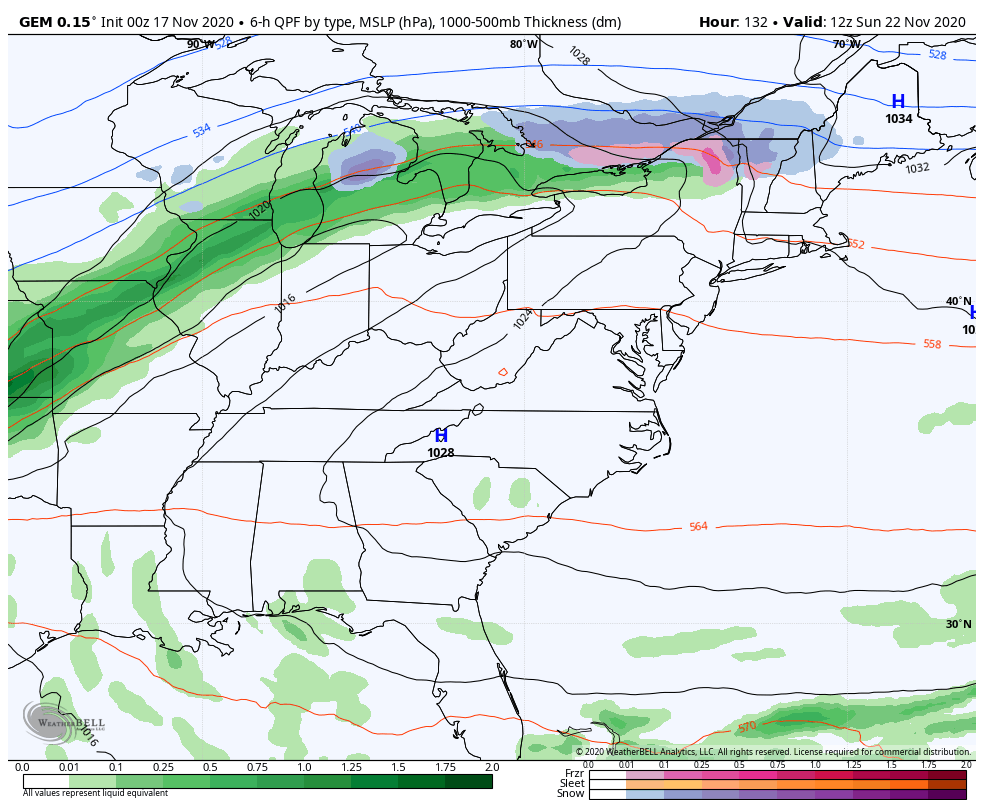
The GFS continues to show two systems impacting us from Sunday night through Tuesday…

Temps crash quickly behind the first one, making for a dreary, cold rain with the second system.
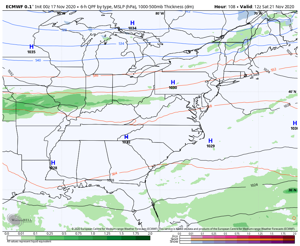
The Canadian also has two systems during the same time, but the second one instead comes from the northwest…
The EURO is a little different than both in the fact it brings some showers in as early as Saturday. It does show the two different systems early next week…
Another storm system should impact us right after Thanksgiving into that weekend.
The longer range GFS shows the changing setup as we close November and usher in December…

Starting to look a little blocky!
I will update things again later today. Have a good one and take care.

Chris, to compliment that GFS weather model here is the current snow cover across Siberia, Alaska and Canada :https://www.ventusky.com/?p=67;-150;1&l=snow
WOW!
Adding to the above post. This is what La Nina Winter does to our great neighbors to our north.
If the “Polar Low” weakens and the AO goes negative along with the other teleconnections all of that frigid Arctic air will spill southward into the US.
For me I hope it doesn’t happen as I don’t want another December like 1989.
Enjoying the weather we are having now, but we will need rain soon.