Good afternoon, folks. We have another cold front slamming through the state tonight and it’s bringing more in the way of gusty winds. This front ushers in much colder air and even a few flakes in the east. At the same time, I’m honing in on what looks like a very active Thanksgiving week of weather.
Let me begin this update with a look at the strongest hurricane ever recorded this late in the season… Iota. This Category 5 hurricane is a monster heading into Central America…

Here are the specifics from the National Hurricane Center…

Again, there is no analog for anything going on in our weather world right now.
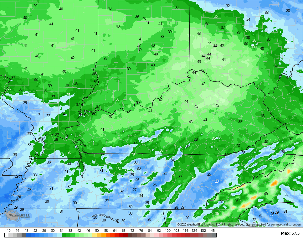
Back in the bluegrass state, we know the weather is colder the next few days. A front drops through tonight with gusty winds that may spike to 40mph in a few spots…
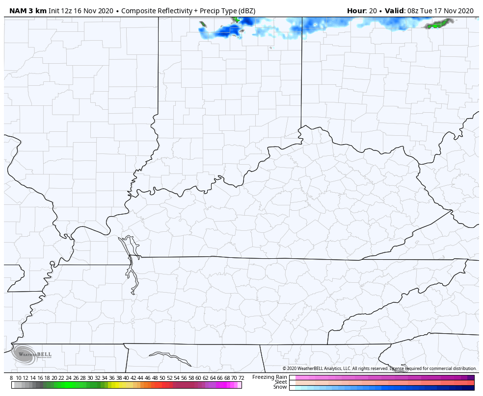
There is still the chance for a few flakes to show up across eastern Kentucky early Tuesday as a northwest flow kicks in…
Temps recover VERY well by the end of the week into the weekend as highs return to the 60s with a great looking sky.
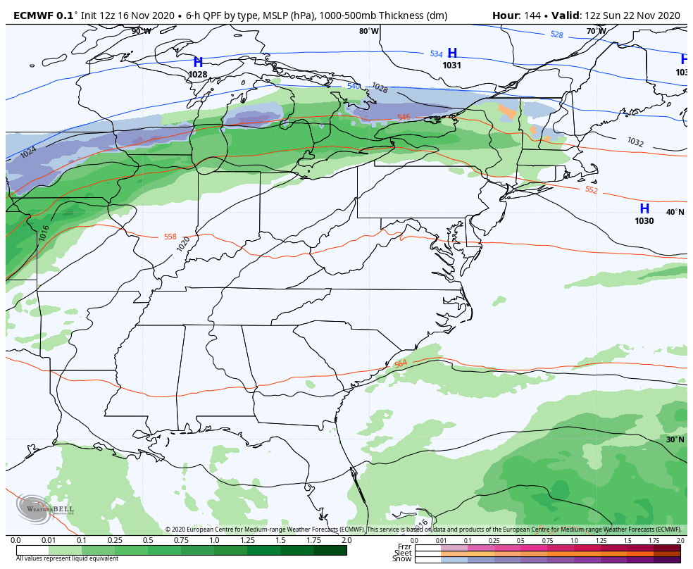
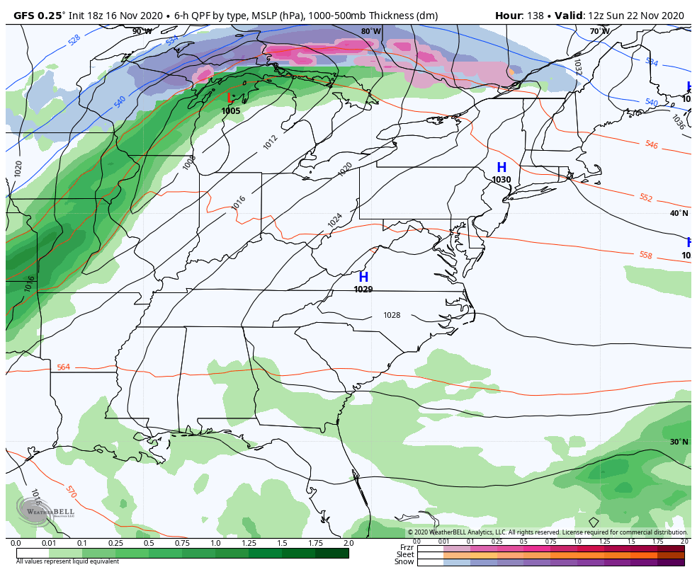
A storm system continues to take shape as we start Thanksgiving week, but the models continue to switch around how they handle the setup.
The EURO is stronger and slower with the storm, bringing heavy rain and gusty winds Sunday night and Monday. As the low goes by, it pulls in enough cold air for a possible flake…
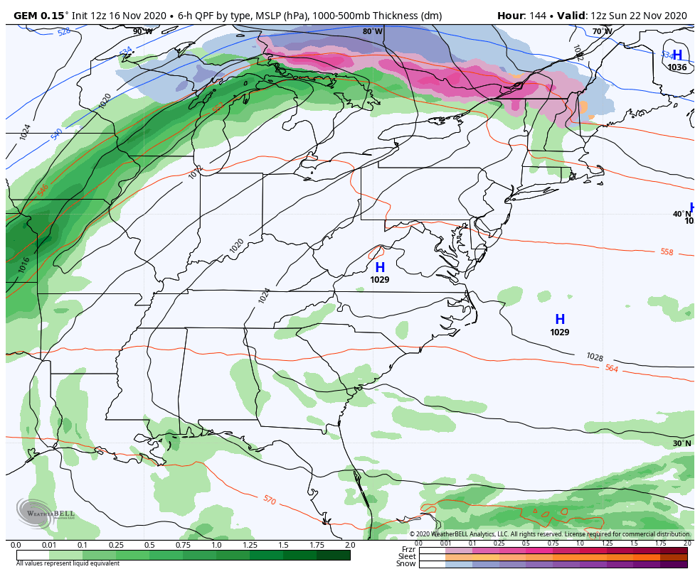
The Canadian is similar to the EURO, but it’s more progressive…
The GFS continues to bring this out in two pieces. One arrives Sunday night and Monday with the second one on Tuesday. Both would bring decent rains to the area…
Another storm system will likely follow that up later Friday or Saturday. We will get into all that more as the week wears on.
Enjoy the day and take care.
