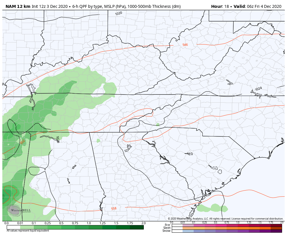
Good afternoon, everybody. It was another frigid morning across the Commonwealth and afternoon temps have been slow to respond in several areas. Clouds continue to thicken ahead of our next system that’s already bringing a little bit of precip into western Kentucky. This rain will increase into Friday, bringing us a very ugly weather day across the state. This system will also be able to produce a few flakes as it exits the state by Saturday morning.
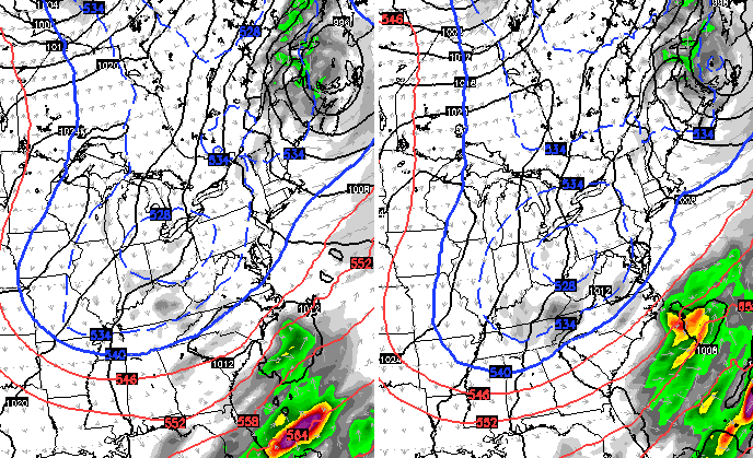
Here’s your regional radar to follow the increase in the action to our west and southwest…

Most models now agree this system doesn’t intensify early enough to produce any appreciable snow on the backside of the low. Still, a switch to light snow in the southeast shows up and a northwest wind may spit out a pocket of light snow and flurries Saturday across central and eastern Kentucky…
Here are the areas where the NAM sees some flakes flying during this time…
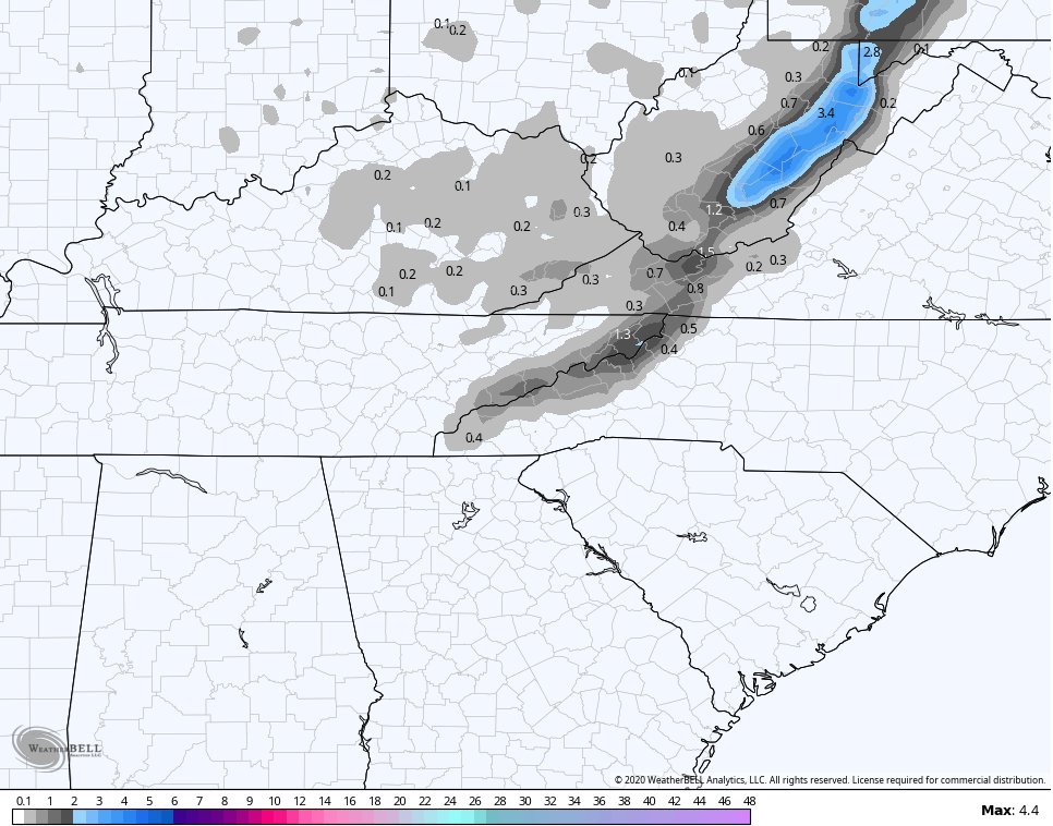
The West Virginia Mountains should do well again.
The NAM fam is keeping clouds around for Saturday. If this is the case all day long, our temps will really struggle. Here’s the Hi Res NAM from 7am-7pm Saturday…
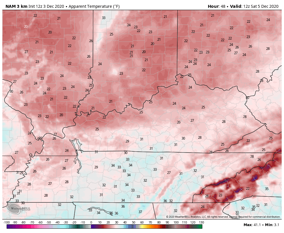
Wind chills during the same time…
Another system then drops in with the chance for light snow and flurries Sunday night and Monday…
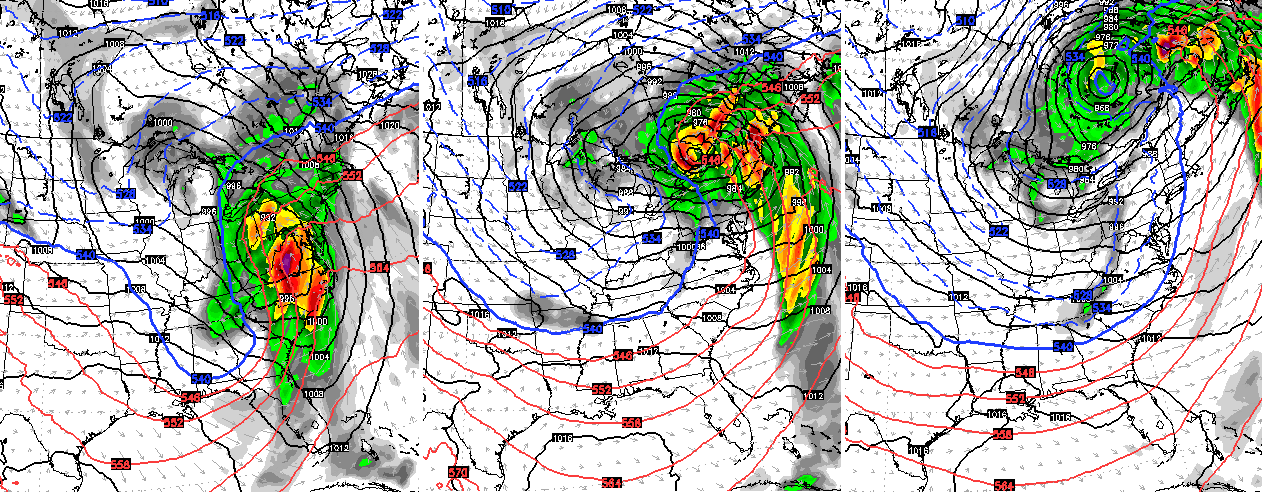
The pattern after this is likely to relax for the middle and end of next week as our temps get back to normal or even a few days above. This is ahead of the time period we’ve been talking about the jet stream taking a big dip across the eastern half of the country. That is likely to bring another extended period of much colder than normal temps our way. Arctic air is also an increasing possibility. It’s also a pattern that may crank out some big winter storm systems that can impact our region. The operational models are picking up on this…

I will throw you another update later this evening. Until then, enjoy the day and take care.
